


G3 Argeles tour de lavedan recounu et corrigé

LouisROGER
User GUIDE
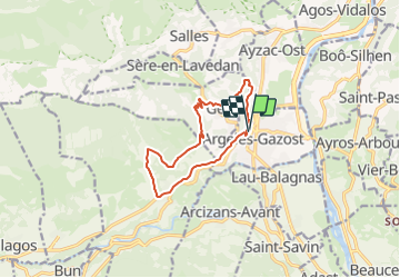

Length
11.4 km

Max alt
943 m

Uphill gradient
538 m
Km-Effort
18.6 km

Min alt
461 m

Downhill gradient
535 m
Boucle
Yes
Creation date :
2022-02-14 11:01:34.793
Updated on :
2022-02-14 16:09:04.352
3h07
Difficulty : Very difficult

FREE GPS app for hiking
 SityTrail
IGN / Geographical institutes
SityTrail Plus
The world is yours!
About
Trail Walking of 11.4 km to be discovered at Occitania, Hautespyrenees, Argelès-Gazost. This trail is proposed by LouisROGER.
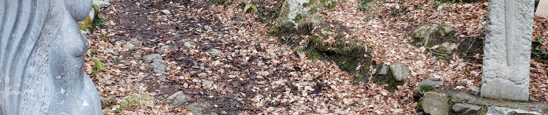
Photos


Positioning
Country:
France
Region :
Occitania
Department/Province :
Hautespyrenees
Municipality :
Argelès-Gazost
Location:
Unknown
Start:(Dec)
Start:(UTM)
736295 ; 4765656 (30T) N.
Comments