


GR10-3

viaul
User GUIDE

Length
12.5 km

Max alt
2428 m

Uphill gradient
1507 m
Km-Effort
29 km

Min alt
1060 m

Downhill gradient
374 m
Boucle
No
Creation date :
2022-02-14 17:08:49.675
Updated on :
2022-02-14 17:11:57.951
3h35
Difficulty : Difficult

FREE GPS app for hiking
 SityTrail
IGN / Geographical institutes
SityTrail Plus
The world is yours!
About
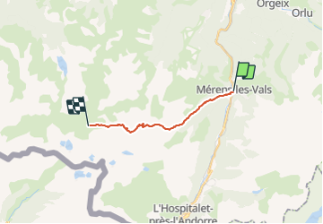
Trail Walking of 12.5 km to be discovered at Occitania, Ariège, Mérens-les-Vals. This trail is proposed by viaul.
Positioning
Country:
France
Region :
Occitania
Department/Province :
Ariège
Municipality :
Mérens-les-Vals
Location:
Unknown
Start:(Dec)
Start:(UTM)
404636 ; 4723411 (31T) N.
Comments