Trail On foot Triest - IT-19 - Photo

Tous les sentiers balisés d’Europe GUIDE+

© OpenStreetMap contributors
Length
Length
8.5 km
Max alt
Max alt
258 m
Uphill gradient
Uphill gradient
48 m
Km-Effort
Km-Effort  
9.6 km
Min alt
Min alt
128 m
Downhill gradient
Downhill gradient
171 m
Boucle
Boucle
No
Signpost
Signpost
Creation date :
2022-02-14 22:55:14.75
Updated on :
2022-02-28 16:34:01.688

(0 Reviews)

On foot
On foot
2h10
Difficulty : Easy

Scan this QR Code to open this trail in the SityTrail application

FREE GPS app for hiking

Logo SityTrail SityTrail

IGN / Geographical institutes

Download SityTrail from the App Store Download SityTrail from Google Play

Logo SityTrail SityTrail Plus

The world is yours!

Download SityTrail from the App Store Download SityTrail from Google Play Download SityTrail on Huawei AppGallery

About

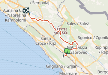
Trail On foot of 8.5 km to be discovered at Friuli Venezia Giulia, Unknown, Triest. This trail is proposed by SityTrail - itinéraires balisés pédestres.

Description

Trail created by Commissione Giulio Carnica Sentieri, Rifugi e Opere Alpine.

Bivio sentiero n. 6 - Gabrovizza - Grotta dell’Orso - Bristie - Grotta Noè - Aurisina

Symbol: 19 on white red flag


Website: http://www.cai-fvg.it/sentieri-cai-fvg/sentieri-cai-fvg-settore-0-carso/
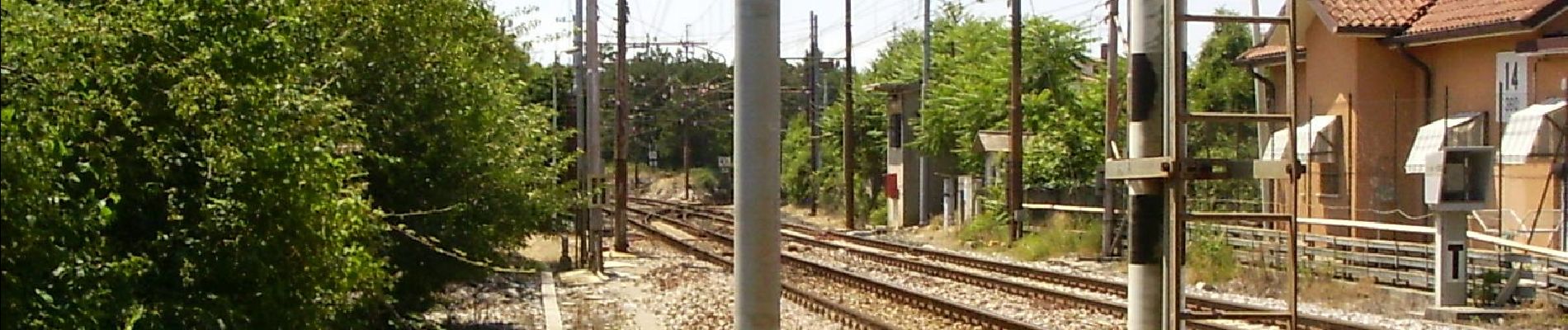
Elevation profile

Photos

Positioning

Country:
Italy
Region :
Friuli Venezia Giulia
Department/Province :
Unknown
Municipality :
Triest
Location:
Unknown
Start:(UTM)
399921 ; 5063716 (33T) N.


Close
My subscriptions