


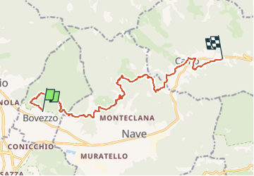

26 km | 47 km-effort

Tous les sentiers balisés d’Europe PRO


FREE GPS app for hiking
 SityTrail
IGN / Geographical institutes
SityTrail World
The world is yours!
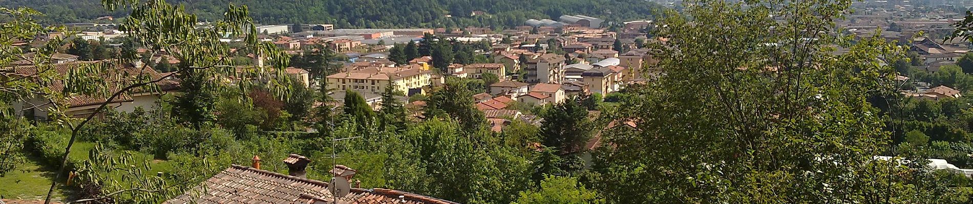
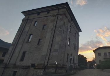
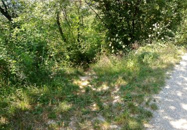
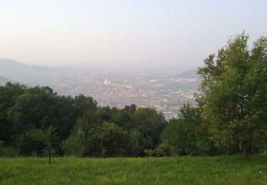
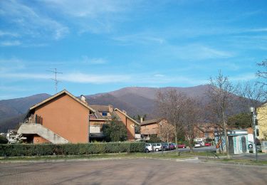
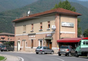
Trail On foot of 14.4 km to be discovered at Lombardy, Brescia, Bovezzo. This trail is proposed by SityTrail - itinéraires balisés pédestres.
Trail created by Comune di Bovezzo, Nave e Caino.
Symbol: white red flag


On foot

On foot
On foot
On foot

On foot
On foot
On foot

On foot

On foot