


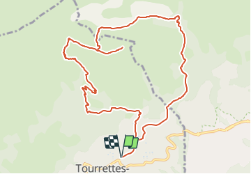

13.1 km | 22 km-effort


Tous les sentiers balisés d’Europe PRO


FREE GPS app for hiking
 SityTrail
IGN / Geographical institutes
SityTrail World
The world is yours!
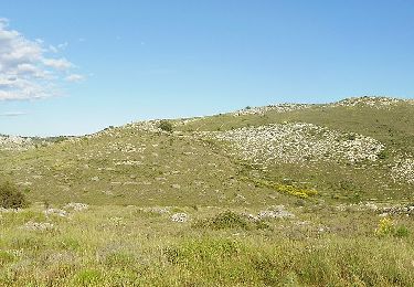
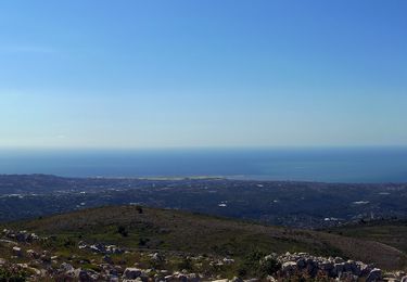
Trail On foot of 13 km to be discovered at Provence-Alpes-Côte d'Azur, Maritime Alps, Tourrettes-sur-Loup. This trail is proposed by SityTrail - itinéraires balisés pédestres.
Randonnée pédestre - Pays côtier : Au départ de Tourrettes-sur-Loup, parking d'entrée (400 m)
Website: https://randoxygene.departement06.fr/pays-vencois/puy-de-naouri-9310.html


Walking
On foot

On foot

On foot

On foot

On foot
On foot

Walking

Running