


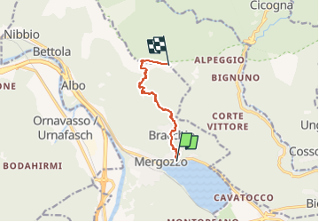
A52 - Mergozzo - Bracchio - Vercio - Monte Faiè

SityTrail - itinéraires balisés pédestres
Tous les sentiers balisés d’Europe GUIDE+


4h04
Difficulty : Easy

FREE GPS app for hiking
 SityTrail
IGN / Geographical institutes
SityTrail Plus
The world is yours!
About
Trail On foot of 6.4 km to be discovered at Piemont, Verbano-Cusio-Ossola, Mergozzo. This trail is proposed by SityTrail - itinéraires balisés pédestres.
Description
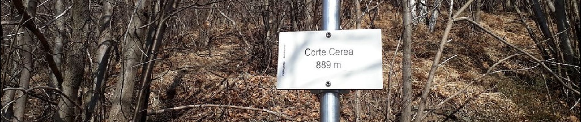
Trail created by CAI Pallanza.
Relation with photos (click on → Web site) mantained by Danilo (CAI Pallanza)
Symbol: red and white stripes
Website: http://www.estmonterosa.it/catasto-percorsi-vco-piana-del-toce-settore-a.html
Photos


Positioning
Comments