


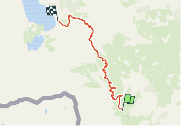

13.3 km | 20 km-effort

Tous les sentiers balisés d’Europe PRO


FREE GPS app for hiking
 SityTrail
IGN / Geographical institutes
SityTrail World
The world is yours!
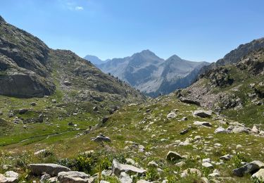
Trail On foot of 7.1 km to be discovered at Piemont, Cuneo, Entracque. This trail is proposed by SityTrail - itinéraires balisés pédestres.
Sentiero Italia CAI 2019
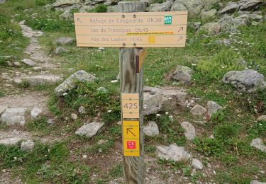
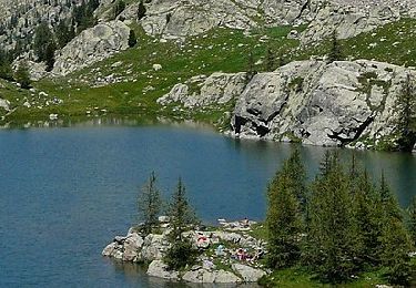
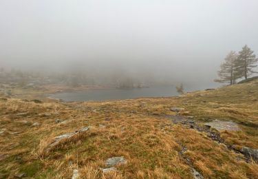
 Rifugio Rifugio Soria-Ellena - Rifugio Genova-Figari - Photo 1")
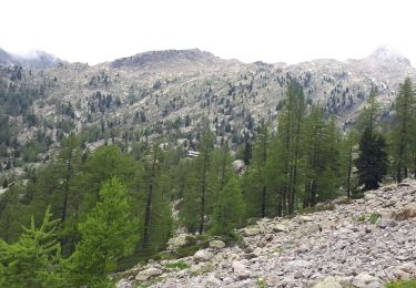
 Rifugio Rifugio Soria-Ellena - Rifugio Genova-Figari - Photo 2")
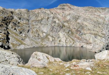
 Rifugio Rifugio Soria-Ellena - Rifugio Genova-Figari - Photo 3")
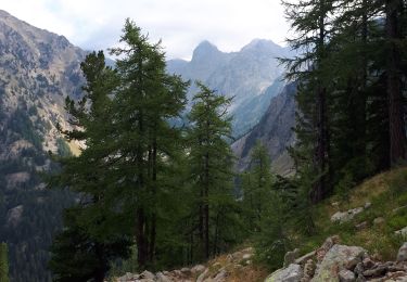
 Rifugio Rifugio Soria-Ellena - Rifugio Genova-Figari - Photo 4")
 Rifugio Rifugio Soria-Ellena - Rifugio Genova-Figari - Photo 5")
 Rifugio Rifugio Soria-Ellena - Rifugio Genova-Figari - Photo 6")
 Rifugio Rifugio Soria-Ellena - Rifugio Genova-Figari - Photo 7")
 Rifugio Rifugio Soria-Ellena - Rifugio Genova-Figari - Photo 8")

Walking
Walking
On foot

Walking
Walking
Walking
Walking
Walking
Walking