


(SI E57) Rifugio Alpe Laghetto - Rifugio San Bernardo

SityTrail - itinéraires balisés pédestres
Tous les sentiers balisés d’Europe GUIDE+
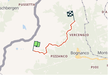

Length
6.9 km

Max alt
2046 m

Uphill gradient
174 m
Km-Effort
10.5 km

Min alt
1538 m

Downhill gradient
581 m
Boucle
No

Signpost
Creation date :
2022-02-15 13:21:25.553
Updated on :
2022-03-01 11:42:58.102
2h23
Difficulty : Easy

FREE GPS app for hiking
 SityTrail
IGN / Geographical institutes
SityTrail Plus
The world is yours!
About
Trail On foot of 6.9 km to be discovered at Piemont, Verbano-Cusio-Ossola, Bognanco. This trail is proposed by SityTrail - itinéraires balisés pédestres.
Description
Sentiero Italia CAI 2019
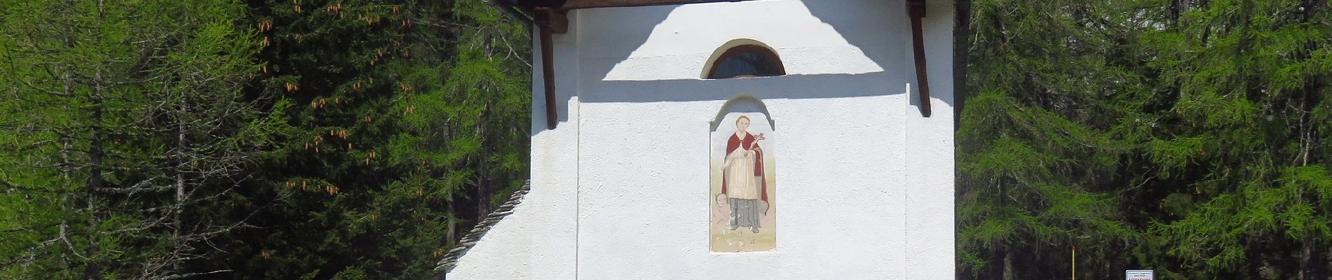
Photos
 Rifugio Alpe Laghetto - Rifugio San Bernardo - Photo 1")
 Rifugio Alpe Laghetto - Rifugio San Bernardo - Photo 2")
 Rifugio Alpe Laghetto - Rifugio San Bernardo - Photo 3")
Positioning
Country:
Italy
Region :
Piemont
Department/Province :
Verbano-Cusio-Ossola
Municipality :
Bognanco
Location:
Unknown
Start:(Dec)
Start:(UTM)
434122 ; 5108619 (32T) N.
Comments