


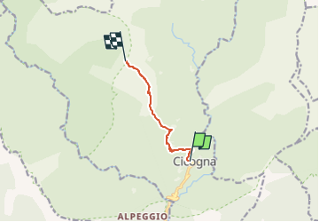

4.8 km | 10.6 km-effort


Tous les sentiers balisés d’Europe PRO


FREE GPS app for hiking
 SityTrail
IGN / Geographical institutes
SityTrail World
The world is yours!
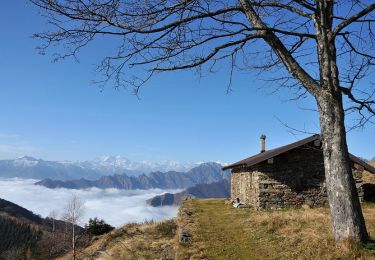
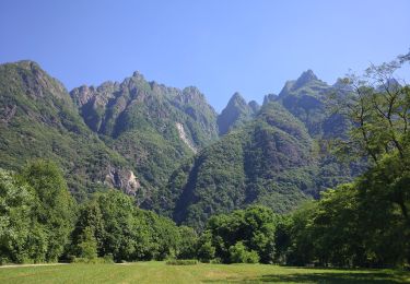
Trail On foot of 5.2 km to be discovered at Piemont, Verbano-Cusio-Ossola, Cossogno. This trail is proposed by SityTrail - itinéraires balisés pédestres.
Relation with photos (click on → Web site) mantained by Danilo (CAI Pallanza)tos mantained by Danilo (CAI Pallanza)
Symbol: white red flags up to Alpe Leciurt beyond not marked
Website: http://www.cai-pallanza.it/sentieristica


On foot
On foot
On foot
On foot

On foot

On foot

On foot

On foot
On foot