


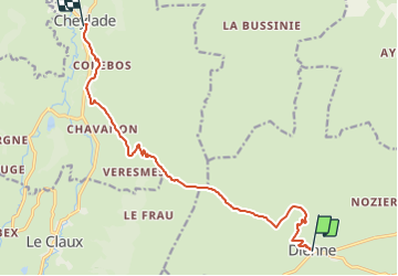

11.2 km | 21 km-effort

Tous les sentiers balisés d’Europe PRO


FREE GPS app for hiking
 SityTrail
IGN / Geographical institutes
SityTrail World
The world is yours!
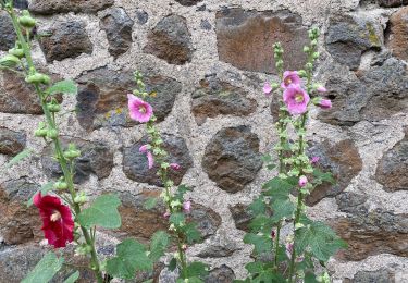
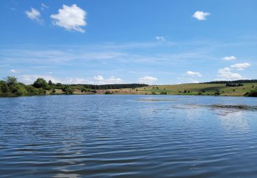
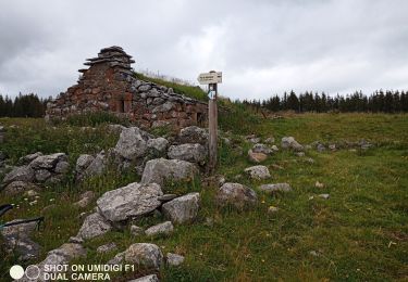
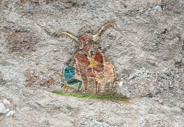
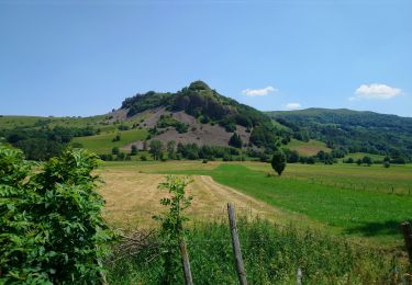
Trail On foot of 12.2 km to be discovered at Auvergne-Rhône-Alpes, Cantal, Dienne. This trail is proposed by SityTrail - itinéraires balisés pédestres.
Trail created by Grand Site du Puy Mary.


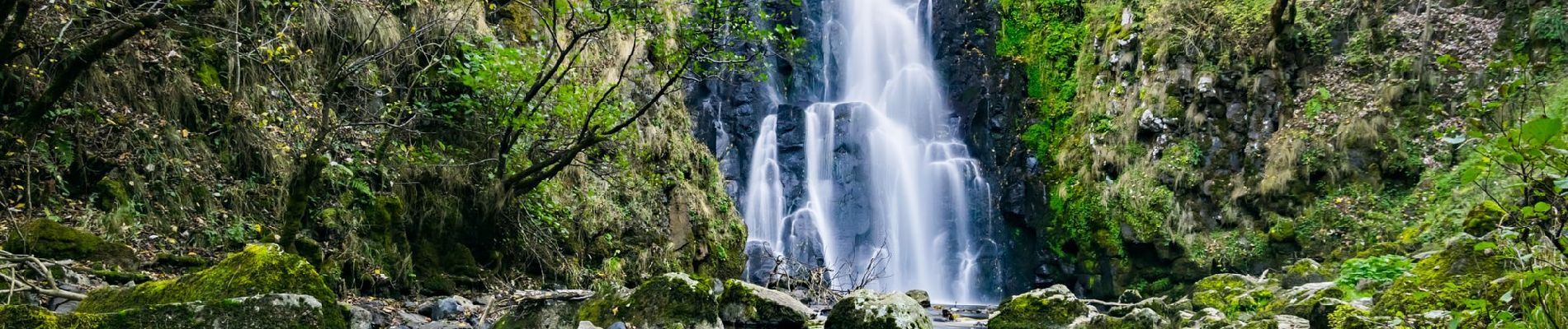
Walking

Walking
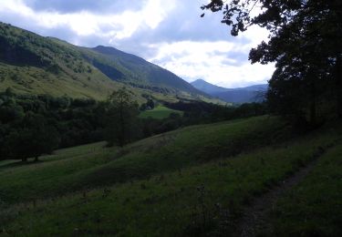
On foot
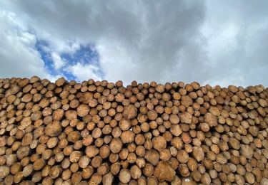
Walking
Walking
Walking
Walking
Walking
Walking