


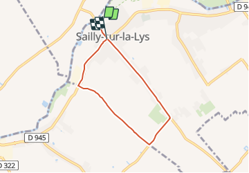

13.7 km | 14.3 km-effort

Tous les sentiers balisés d’Europe PRO


FREE GPS app for hiking
 SityTrail
IGN / Geographical institutes
SityTrail World
The world is yours!
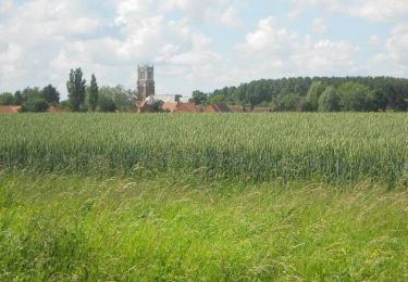
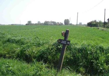
Trail On foot of 5.3 km to be discovered at Hauts-de-France, Pas-de-Calais, Sailly-sur-la-Lys. This trail is proposed by SityTrail - itinéraires balisés pédestres.
Website: https://www.sailly.info/decouvrir-sailly/promenades-saillysiennes/chemins-de-randonnee/


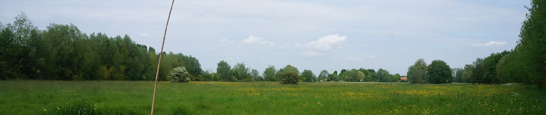
Walking
On foot
On foot

Walking
Walking

Walking
Walking
Walking
Mountain bike