


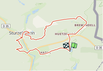

17.3 km | 24 km-effort


Tous les sentiers balisés d’Europe PRO


FREE GPS app for hiking
 SityTrail
IGN / Geographical institutes
SityTrail World
The world is yours!
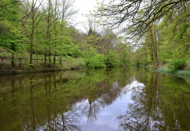
Trail On foot of 10 km to be discovered at Grand Est, Moselle, Sturzelbronn. This trail is proposed by SityTrail - itinéraires balisés pédestres.
Trail created by Club vosgien Niederbronn Reichshoffen.
Follows the GR 532 from the Oberster Kobertweiher to the Neuweiher forester's house.
Symbol: red circle with white dot in the middle
Website: https://ignrando.fr/fr/parcours/28156-3713et-niederbronn-3-anneau-rouge-circulaire-sturzelbronn-kreuzberg-bremendell-welschkobert-hardt


Walking
On foot
On foot
On foot
On foot
On foot
On foot
On foot