


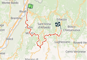

39 km | 71 km-effort


Tous les sentiers balisés d’Europe PRO


FREE GPS app for hiking
 SityTrail
IGN / Geographical institutes
SityTrail World
The world is yours!
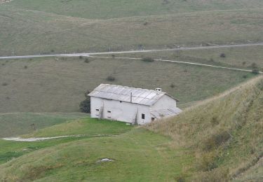
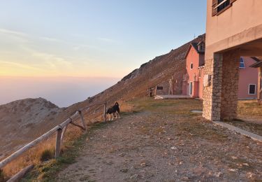
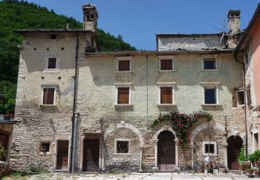
Trail On foot of 27 km to be discovered at Veneto, Verona, Dolcè. This trail is proposed by SityTrail - itinéraires balisés pédestres.
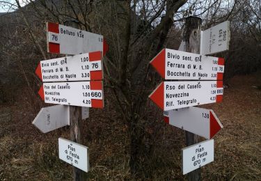
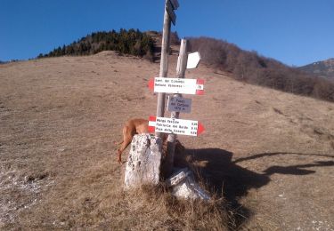
Trail created by Club Alpino Italiano Sezione di San Pietro in Cariano.
relation mantained by Club Alpino Italiano Sezione di San Pietro in Cariano, before making changes contact the CAI structure
Symbol: 252 on white red flag
Website: http://www.caivalpolicella.it


On foot
On foot
On foot
On foot
On foot
On foot
On foot

On foot