


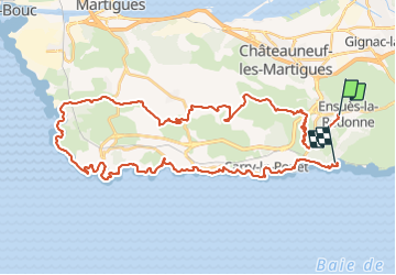

13.2 km | 18.7 km-effort


Tous les sentiers balisés d’Europe PRO


FREE GPS app for hiking
 SityTrail
IGN / Geographical institutes
SityTrail World
The world is yours!
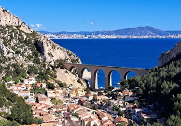
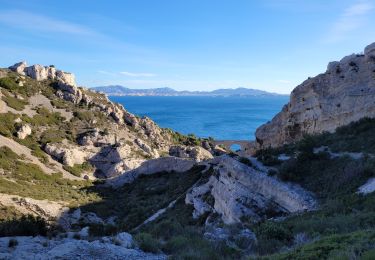
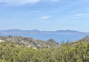
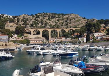
Trail On foot of 50 km to be discovered at Provence-Alpes-Côte d'Azur, Bouches-du-Rhône, Ensuès-la-Redonne. This trail is proposed by SityTrail - itinéraires balisés pédestres.
Préparez votre séjour dans les Bouches-du Rhône. My Provence a sélectionné pour vous le meilleur de l'offre touristique du département.
Website: https://www.myprovence.fr/circuits/randonnees/ensues-la-redonne/156012-grand-sentier-de-la-cote-bleue


Walking

On foot

On foot
On foot

On foot
Walking

Walking
Walking
Walking