


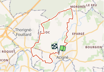
Circuit des Pèlerins

SityTrail - itinéraires balisés pédestres
Tous les sentiers balisés d’Europe GUIDE+

Length
16.8 km

Max alt
89 m

Uphill gradient
141 m
Km-Effort
18.7 km

Min alt
29 m

Downhill gradient
147 m
Boucle
Yes

Signpost
Creation date :
2022-02-15 18:00:12.356
Updated on :
2022-03-02 20:21:28.219
4h15
Difficulty : Easy

FREE GPS app for hiking
 SityTrail
IGN / Geographical institutes
SityTrail Plus
The world is yours!
About
Trail On foot of 16.8 km to be discovered at Brittany, Ille-et-Vilaine, Acigné. This trail is proposed by SityTrail - itinéraires balisés pédestres.
Description
Trail created by Commune d'Acigné.
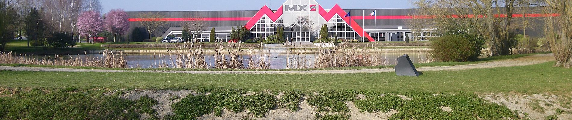
Photos


Positioning
Country:
France
Region :
Brittany
Department/Province :
Ille-et-Vilaine
Municipality :
Acigné
Location:
Unknown
Start:(Dec)
Start:(UTM)
608751 ; 5332394 (30U) N.
Comments
w