


A21 - Punta di Migiandone - Cima Tre Croci

SityTrail - itinéraires balisés pédestres
Tous les sentiers balisés d’Europe GUIDE+
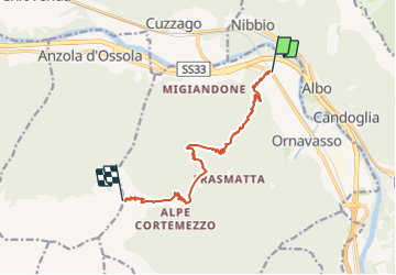

Length
11.7 km

Max alt
1854 m

Uphill gradient
1667 m
Km-Effort
28 km

Min alt
208 m

Downhill gradient
32 m
Boucle
No

Signpost
Creation date :
2022-02-15 18:06:02.932
Updated on :
2022-03-01 22:27:18.307
6h28
Difficulty : Medium

FREE GPS app for hiking
 SityTrail
IGN / Geographical institutes
SityTrail Plus
The world is yours!
About
Trail On foot of 11.7 km to be discovered at Piemont, Verbano-Cusio-Ossola, Ornavasso. This trail is proposed by SityTrail - itinéraires balisés pédestres.
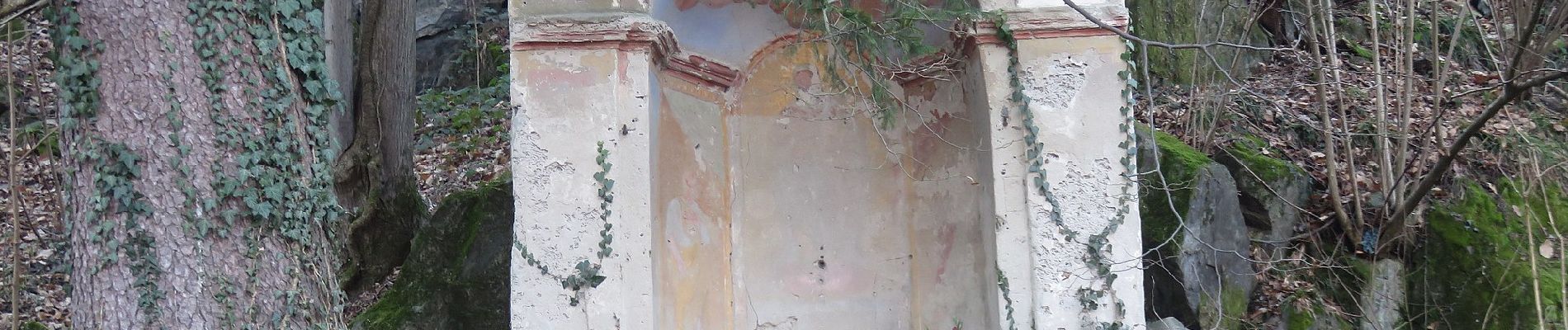
Photos


Positioning
Country:
Italy
Region :
Piemont
Department/Province :
Verbano-Cusio-Ossola
Municipality :
Ornavasso
Location:
Unknown
Start:(Dec)
Start:(UTM)
453622 ; 5092573 (32T) N.
Comments