


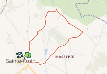

4.9 km | 6.2 km-effort

Tous les sentiers balisés d’Europe PRO


FREE GPS app for hiking
 SityTrail
IGN / Geographical institutes
SityTrail World
The world is yours!
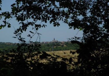
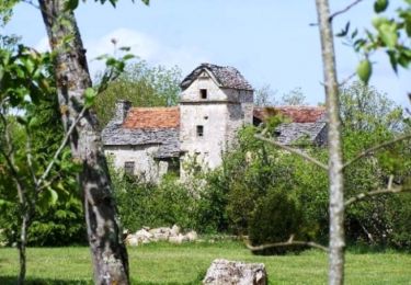
Trail On foot of 4.2 km to be discovered at Occitania, Aveyron, Sainte-Croix. This trail is proposed by SityTrail - itinéraires balisés pédestres.
Trail created by Commune de Sainte-Croix.
Website: https://www.sainte-croix-aveyron.fr/files/42/Balades/7/Balades-RANDO-autour-STE-CROIX.pdf


On foot
On foot
On foot
Mountain bike

Mountain bike
Running
Walking

Mountain bike
Mountain bike