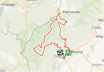
Trail On foot Polcenigo - Borc Trail 50Km - Photo

Tous les sentiers balisés d’Europe GUIDE+

© OpenStreetMap contributors
Length
Length
49 km
Max alt
Max alt
1747 m
Uphill gradient
Uphill gradient
2523 m
Km-Effort
Km-Effort  
83 km
Min alt
Min alt
44 m
Downhill gradient
Downhill gradient
2521 m
Boucle
Boucle
Yes
Signpost
Signpost
Creation date :
2022-02-15 19:38:59.941
Updated on :
2022-03-02 00:33:23.161

(0 Reviews)

On foot
On foot
18h46
Difficulty : Very difficult

Scan this QR Code to open this trail in the SityTrail application

FREE GPS app for hiking

Logo SityTrail SityTrail

IGN / Geographical institutes

Download SityTrail from the App Store Download SityTrail from Google Play

Logo SityTrail SityTrail Plus

The world is yours!

Download SityTrail from the App Store Download SityTrail from Google Play Download SityTrail on Huawei AppGallery

About

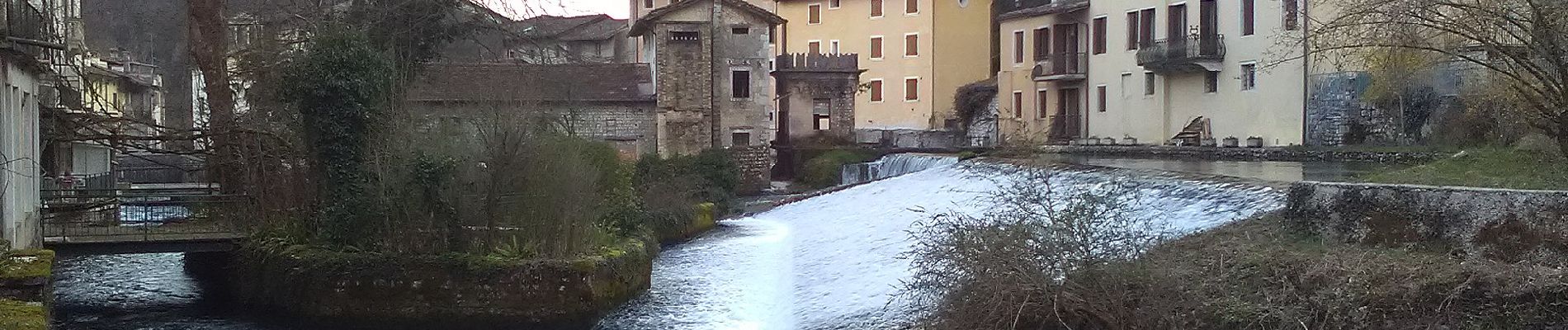
Trail On foot of 49 km to be discovered at Friuli Venezia Giulia, Unknown, Polcenigo. This trail is proposed by SityTrail - itinéraires balisés pédestres.

Description

BORC TRAIL - 50KM 2700D  -9 OTTOBRE 2022 Polcenigo (PN)

Website: https://borctrail.it/borctrail/

Elevation profile

Photos

Positioning

Country:
Italy
Region :
Friuli Venezia Giulia
Department/Province :
Unknown
Municipality :
Polcenigo
Location:
Unknown
Start:(UTM)
306677 ; 5100535 (33T) N.


Close
My subscriptions