


Mittelalterlicher Erlebnispfad

SityTrail - itinéraires balisés pédestres
Tous les sentiers balisés d’Europe GUIDE+

Length
26 km

Max alt
736 m

Uphill gradient
666 m
Km-Effort
35 km

Min alt
514 m

Downhill gradient
666 m
Boucle
Yes

Signpost
Creation date :
2022-02-16 16:58:53.121
Updated on :
2022-03-03 15:01:46.075
7h50
Difficulty : Difficult

FREE GPS app for hiking
 SityTrail
IGN / Geographical institutes
SityTrail Plus
The world is yours!
About
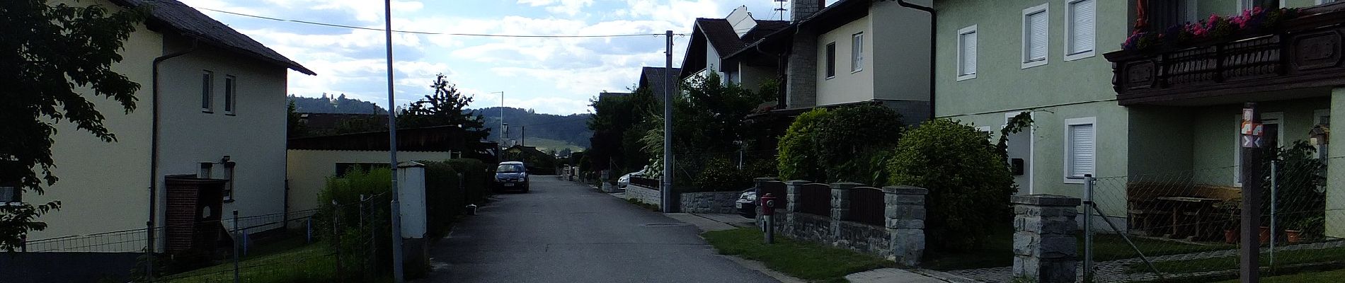
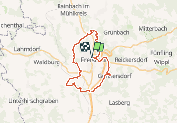
Trail On foot of 26 km to be discovered at Upper Austria, Bezirk Freistadt, Freistadt. This trail is proposed by SityTrail - itinéraires balisés pédestres.
Description
Trail created by Tourismusverband Mühlviertler Kernland.
Photos


Positioning
Country:
Austria
Region :
Upper Austria
Department/Province :
Bezirk Freistadt
Municipality :
Freistadt
Location:
Unknown
Start:(Dec)
Start:(UTM)
463292 ; 5373457 (33U) N.
Comments