Trail On foot Hirschegg-Pack - Wanderweg 41 - Photo

Tous les sentiers balisés d’Europe GUIDE+

© OpenStreetMap contributors
Length
Length
5.2 km
Max alt
Max alt
1565 m
Uphill gradient
Uphill gradient
1 m
Km-Effort
Km-Effort  
7.4 km
Min alt
Min alt
896 m
Downhill gradient
Downhill gradient
666 m
Boucle
Boucle
No
Signpost
Signpost
Creation date :
2022-02-16 17:35:42.311
Updated on :
2022-03-03 22:06:47.139

(0 Reviews)

On foot
On foot
1h41
Difficulty : Easy

Scan this QR Code to open this trail in the SityTrail application

FREE GPS app for hiking

Logo SityTrail SityTrail

IGN / Geographical institutes

Download SityTrail from the App Store Download SityTrail from Google Play

Logo SityTrail SityTrail Plus

The world is yours!

Download SityTrail from the App Store Download SityTrail from Google Play Download SityTrail on Huawei AppGallery

About

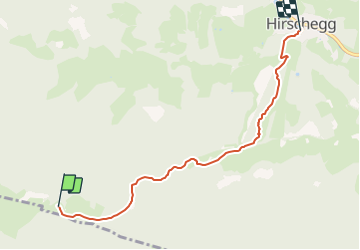
Trail On foot of 5.2 km to be discovered at Styria, Bezirk Voitsberg, Hirschegg-Pack. This trail is proposed by SityTrail - itinéraires balisés pédestres.

Description

Trail created by TV Steirische Rucksackdörfer.

http://wiki.openstreetmap.org/wiki/WikiProject_Austria/Wanderwege

Symbol: rot-weiss-rot 41
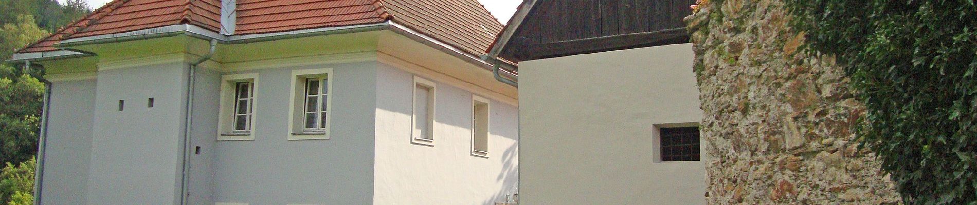
Elevation profile

Photos

Positioning

Country:
Austria
Region :
Styria
Department/Province :
Bezirk Voitsberg
Municipality :
Hirschegg-Pack
Location:
Unknown
Start:(UTM)
493625 ; 5205041 (33T) N.


Close
My subscriptions