


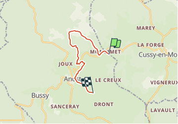

31 km | 38 km-effort


Tous les sentiers balisés d’Europe PRO


FREE GPS app for hiking
 SityTrail
IGN / Geographical institutes
SityTrail World
The world is yours!
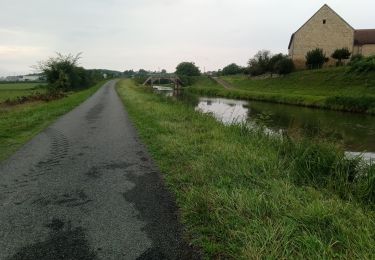
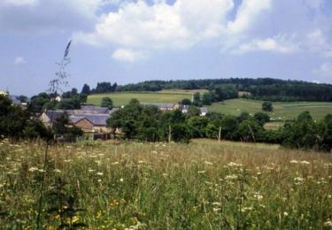
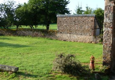
Trail On foot of 7.9 km to be discovered at Bourgogne-Franche-Comté, Saône-et-Loire, Anost. This trail is proposed by SityTrail - itinéraires balisés pédestres.
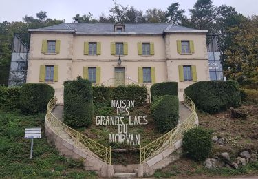
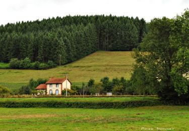
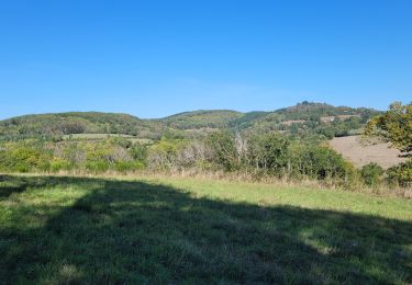
Pays : Autunois-Morvan De ANOST à ANOST


Walking

Running
Walking
Walking

On foot
Road bike
Mountain bike
Mountain bike

Mountain bike