


Vertical Kilometer

SityTrail - itinéraires balisés pédestres
Tous les sentiers balisés d’Europe GUIDE+
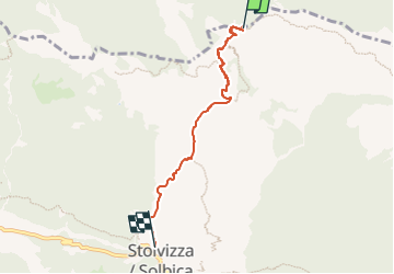

Length
4.2 km

Max alt
1655 m

Uphill gradient
0 m
Km-Effort
7.7 km

Min alt
610 m

Downhill gradient
1034 m
Boucle
No

Signpost
Creation date :
2022-02-17 11:07:48.236
Updated on :
2022-03-02 02:40:45.605
1h44
Difficulty : Easy

FREE GPS app for hiking
 SityTrail
IGN / Geographical institutes
SityTrail Plus
The world is yours!
About
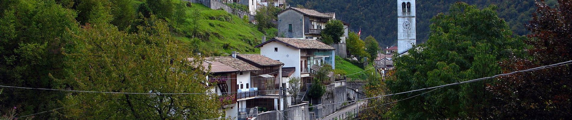
Trail On foot of 4.2 km to be discovered at Friuli Venezia Giulia, Unknown, Resia. This trail is proposed by SityTrail - itinéraires balisés pédestres.
Description
Trail created by Associazione "Vivi Stolvizza".
Photos


Positioning
Country:
Italy
Region :
Friuli Venezia Giulia
Department/Province :
Unknown
Municipality :
Resia
Location:
Unknown
Start:(Dec)
Start:(UTM)
374449 ; 5138306 (33T) N.
Comments