


Villeneuve-sur-Fère du 17-02-2022

VANDERPUTTENMi
User GUIDE
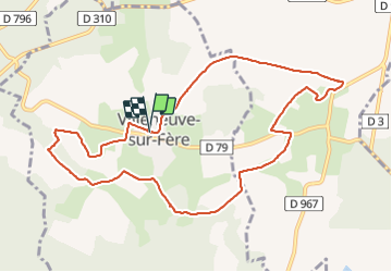

Length
10 km

Max alt
219 m

Uphill gradient
167 m
Km-Effort
12.2 km

Min alt
141 m

Downhill gradient
166 m
Boucle
Yes
Creation date :
2022-02-17 12:55:12.369
Updated on :
2022-02-18 18:12:17.414
2h14
Difficulty : Difficult

FREE GPS app for hiking
 SityTrail
IGN / Geographical institutes
SityTrail Plus
The world is yours!
About
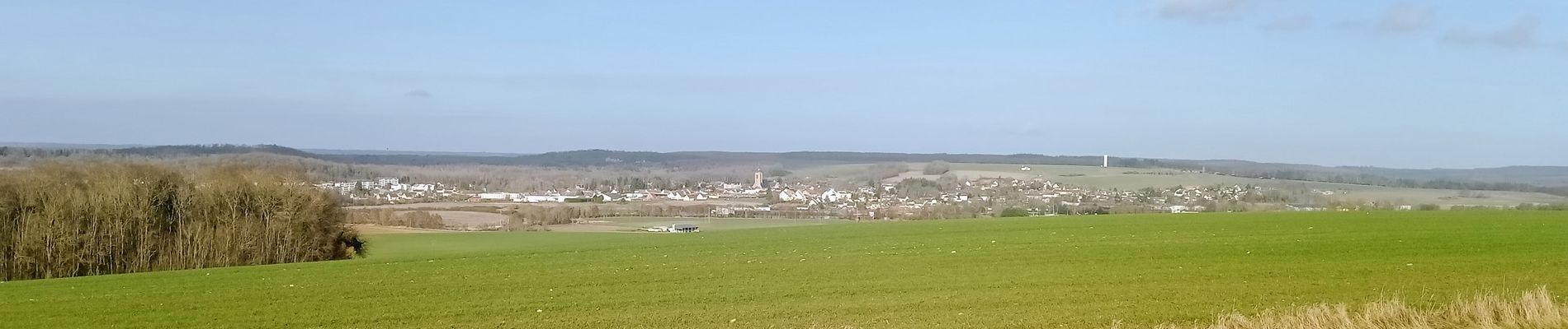
Trail Walking of 10 km to be discovered at Hauts-de-France, Aisne, Villeneuve-sur-Fère. This trail is proposed by VANDERPUTTENMi.
Photos

Positioning
Country:
France
Region :
Hauts-de-France
Department/Province :
Aisne
Municipality :
Villeneuve-sur-Fère
Location:
Unknown
Start:(Dec)
Start:(UTM)
534566 ; 5447391 (31U) N.
Comments