


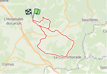

13.5 km | 15.6 km-effort


User


FREE GPS app for hiking
 SityTrail
IGN / Geographical institutes
SityTrail World
The world is yours!
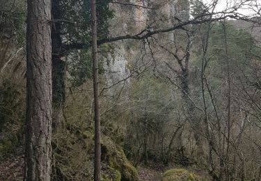
Trail Mountain bike of 34 km to be discovered at Occitania, Aveyron, Nant. This trail is proposed by touareg3400.
circuit vtt 22 et 15 assemblés avec départ du parking des canalettes

Walking
Walking
Nordic walking
Walking

Mountain bike
Walking
Walking