Trail Walking Saint-Ouen - Saint-Ouen - Découverte - Photo
 guydu41
guydu41

User

© OpenStreetMap contributors
Length
Length
4.1 km
Max alt
Max alt
128 m
Uphill gradient
Uphill gradient
58 m
Km-Effort
Km-Effort  
4.9 km
Min alt
Min alt
78 m
Downhill gradient
Downhill gradient
57 m
Boucle
Boucle
Yes
Creation date :
2022-02-19 13:06:20.828
Updated on :
2025-06-12 15:38:35.771

(0 Reviews)

Walking
Walking
1h28
Difficulty : Easy

Scan this QR Code to open this trail in the SityTrail application

FREE GPS app for hiking

Logo SityTrail SityTrail

IGN / Geographical institutes

Download SityTrail from the App Store Download SityTrail from Google Play

Logo SityTrail SityTrail Plus

The world is yours!

Download SityTrail from the App Store Download SityTrail from Google Play Download SityTrail on Huawei AppGallery

About

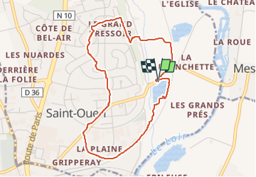
Trail Walking of 4.1 km to be discovered at Centre-Loire Valley, Loir-et-Cher, Saint-Ouen. This trail is proposed by guydu41.

Description

Ce petit circuit démarre depuis un parking à côté d'un étang, 1 Rue Clément Ader, 41100 Saint-Ouen.
Il permet de découvrir la partie haute de cette petite commune qui fait partie de la communauté de commune du Vendômois.
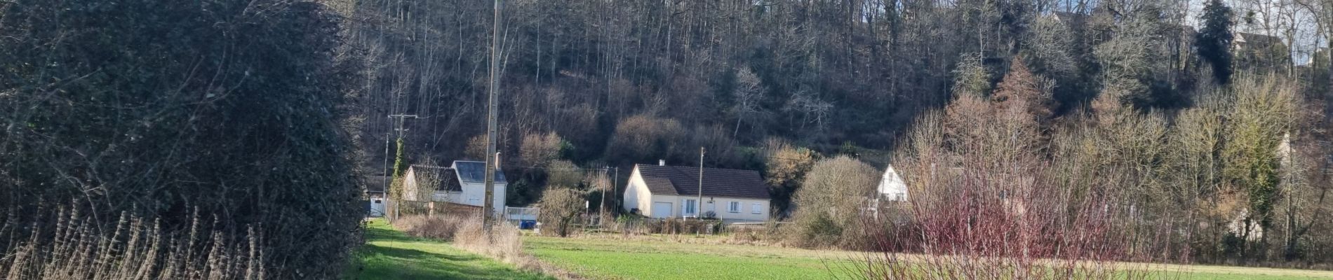
Elevation profile

Photos

41 photos in total. Please click on a photo to see them all in the gallery.

Positioning

Country:
France
Region :
Centre-Loire Valley
Department/Province :
Loir-et-Cher
Municipality :
Saint-Ouen
Location:
Unknown
Start:(UTM)
356789 ; 5297051 (31T) N.


Close
My subscriptions