


col des trois sœurs

lablaquiere
User
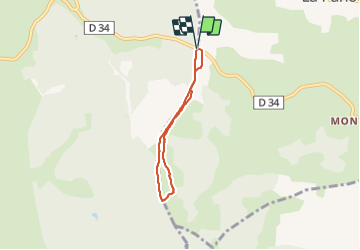

Length
4.8 km

Max alt
1491 m

Uphill gradient
62 m
Km-Effort
5.6 km

Min alt
1455 m

Downhill gradient
65 m
Boucle
Yes
Creation date :
2022-02-19 16:10:06.26
Updated on :
2022-02-19 17:53:52.283
1h16
Difficulty : Easy

FREE GPS app for hiking
 SityTrail
IGN / Geographical institutes
SityTrail Plus
The world is yours!
About
Trail Walking of 4.8 km to be discovered at Occitania, Lozère, Monts-de-Randon. This trail is proposed by lablaquiere.
Positioning
Country:
France
Region :
Occitania
Department/Province :
Lozère
Municipality :
Monts-de-Randon
Location:
La Villedieu
Start:(Dec)
Start:(UTM)
544757 ; 4952343 (31T) N.
Comments