


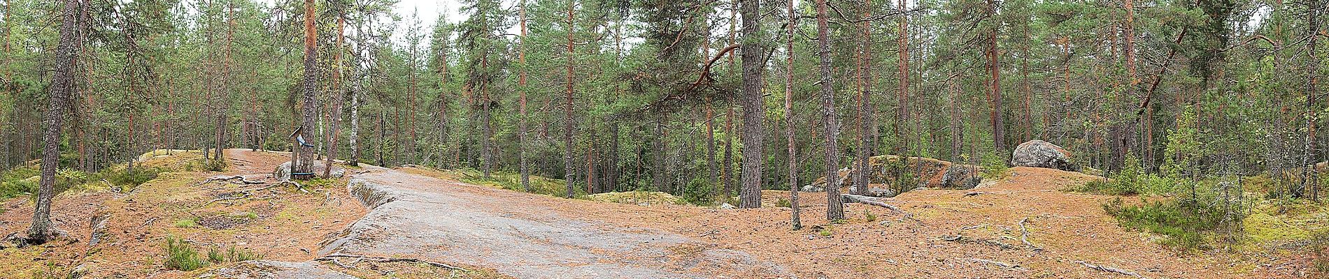
Sippulanniemen luontopolku

SityTrail - itinéraires balisés pédestres
Tous les sentiers balisés d’Europe GUIDE+
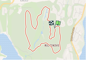

Length
4 km

Max alt
131 m

Uphill gradient
63 m
Km-Effort
4.8 km

Min alt
92 m

Downhill gradient
64 m
Boucle
Yes

Signpost
Creation date :
2022-02-21 10:15:03.666
Updated on :
2022-03-08 15:44:06.259
1h05
Difficulty : Easy

FREE GPS app for hiking
 SityTrail
IGN / Geographical institutes
SityTrail Plus
The world is yours!
About
Trail On foot of 4 km to be discovered at Unknown, Central Finland, Jyväskylä. This trail is proposed by SityTrail - itinéraires balisés pédestres.
Description
Symbol: yellow filled circle
Photos


Positioning
Country:
Finland
Region :
Unknown
Department/Province :
Central Finland
Municipality :
Jyväskylä
Location:
Unknown
Start:(Dec)
Start:(UTM)
434796 ; 6898452 (35V) N.
Comments