Trail On foot Unknown - Παχτούρι - Παχτουρνιάσκα / Mytikas (1976) - Photo

Παχτούρι - Παχτουρνιάσκα / Mytikas (1976)

Tous les sentiers balisés d’Europe PRO

© OpenStreetMap contributors
Length
Length
3.5 km
Max alt
Max alt
1949 m
Uphill gradient
Uphill gradient
945 m
Km-Effort
Km-Effort  
12.9 km
Min alt
Min alt
997 m
Downhill gradient
Downhill gradient
2 m
Boucle
Boucle
No
Signpost
Signpost
Creation date :
2022-02-21 10:52:52.619
Updated on :
2022-03-09 00:35:03.914

(0 Reviews)

On foot
On foot
2h56
Difficulty : Easy

Scan this QR Code to open this trail in the SityTrail application

FREE GPS app for hiking

Logo SityTrail SityTrail

IGN / Geographical institutes

Download SityTrail from the App Store Download SityTrail from Google Play

Logo SityTrail SityTrail World

The world is yours!

Download SityTrail from the App Store Download SityTrail from Google Play Download SityTrail on Huawei AppGallery

About

Trail On foot of 3.5 km to be discovered at Thessaly and Central Greece, Trikala Regional Unit. This trail is proposed by SityTrail - itinéraires balisés pédestres.

Positioning

Country:
Greece
Region :
Thessaly and Central Greece
Department/Province :
Trikala Regional Unit
Municipality :
Unknown
Location:
Unknown
Start:(UTM)
522123 ; 4369427 (34S) N.

Trails nearby

Trail On foot  - Νεράιδα - Κρυάκουρας (2150) - Photo
On foot
PRO

On foot

Medium
, Thessaly and Central Greece, Trikala Regional Unit, Greece
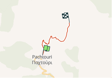
11.6 km | 24 km-effort
5h 27min
No


Close
My subscriptions