


Atour de Lagremuse

Clo0413
User
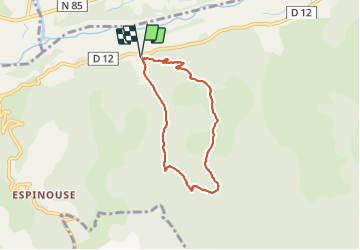

Length
6 km

Max alt
782 m

Uphill gradient
292 m
Km-Effort
9.9 km

Min alt
499 m

Downhill gradient
290 m
Boucle
Yes
Creation date :
2022-02-21 13:07:23.106
Updated on :
2022-02-21 17:09:48.793
1h43
Difficulty : Easy

FREE GPS app for hiking
 SityTrail
IGN / Geographical institutes
SityTrail Plus
The world is yours!
About
Trail Walking of 6 km to be discovered at Provence-Alpes-Côte d'Azur, Alpes-de-Haute-Provence, Le Chaffaut-Saint-Jurson. This trail is proposed by Clo0413.
Positioning
Country:
France
Region :
Provence-Alpes-Côte d'Azur
Department/Province :
Alpes-de-Haute-Provence
Municipality :
Le Chaffaut-Saint-Jurson
Location:
Lagremuse
Start:(Dec)
Start:(UTM)
268793 ; 4879062 (32T) N.
Comments