


dlI1tEJPAkMfACzh8d3-Xw

RobinMicheline
User GUIDE
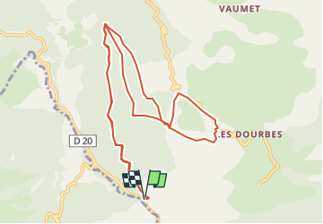

Length
12.8 km

Max alt
1060 m

Uphill gradient
575 m
Km-Effort
20 km

Min alt
770 m

Downhill gradient
575 m
Boucle
Yes
Creation date :
2022-02-21 17:38:38.19
Updated on :
2022-10-22 14:17:02.349
4h38
Difficulty : Very difficult

FREE GPS app for hiking
 SityTrail
IGN / Geographical institutes
SityTrail Plus
The world is yours!
About
Trail Walking of 12.8 km to be discovered at Provence-Alpes-Côte d'Azur, Alpes-de-Haute-Provence, Digne-les-Bains. This trail is proposed by RobinMicheline.
Positioning
Country:
France
Region :
Provence-Alpes-Côte d'Azur
Department/Province :
Alpes-de-Haute-Provence
Municipality :
Digne-les-Bains
Location:
Unknown
Start:(Dec)
Start:(UTM)
282884 ; 4881733 (32T) N.
Comments