Trail Walking Montselgues - Etape2 Cévenne ardéchoise 17km - Photo

Etape2 Cévenne ardéchoise 17km

 thonyc
thonyc

User GUIDE

© OpenStreetMap contributors
Length
Length
16.9 km
Max alt
Max alt
1091 m
Uphill gradient
Uphill gradient
660 m
Km-Effort
Km-Effort  
26 km
Min alt
Min alt
669 m
Downhill gradient
Downhill gradient
840 m
Boucle
Boucle
No
Creation date :
2022-02-22 07:41:42.094
Updated on :
2022-02-24 06:50:32.333

(0 Reviews)

Walking
Walking
6h00
Difficulty : Difficult

Scan this QR Code to open this trail in the SityTrail application

FREE GPS app for hiking

Logo SityTrail SityTrail

IGN / Geographical institutes

Download SityTrail from the App Store Download SityTrail from Google Play

Logo SityTrail SityTrail World

The world is yours!

Download SityTrail from the App Store Download SityTrail from Google Play Download SityTrail on Huawei AppGallery

About

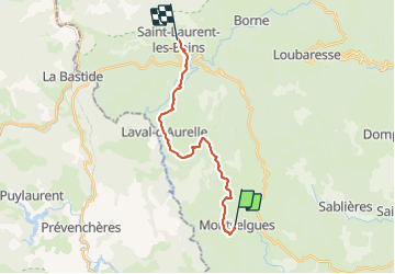
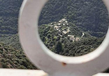
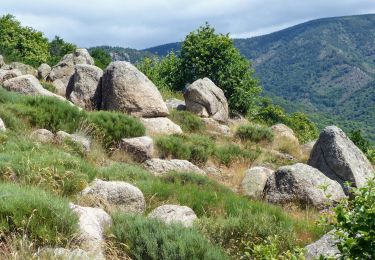
Trail Walking of 16.9 km to be discovered at Auvergne-Rhône-Alpes, Ardèche, Montselgues. This trail is proposed by thonyc.

Description

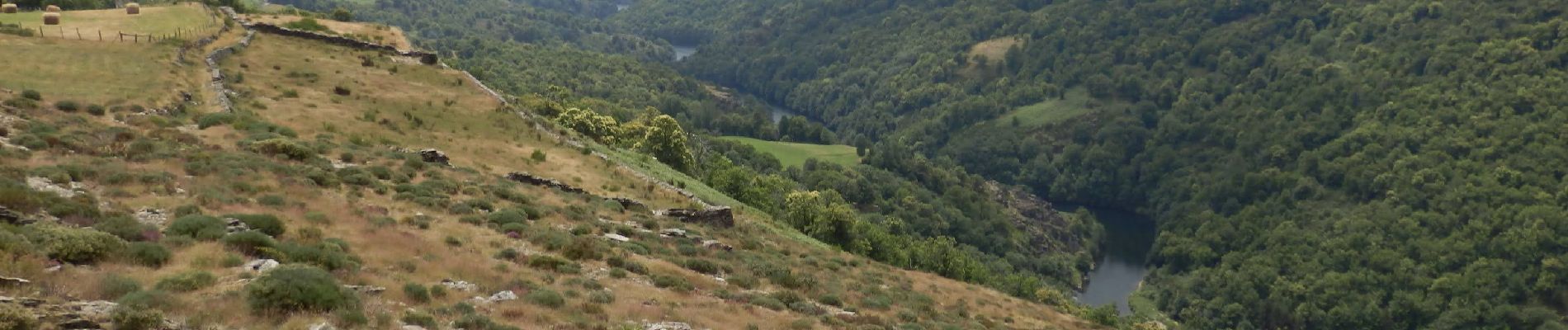
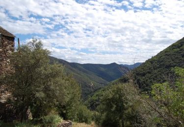
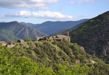
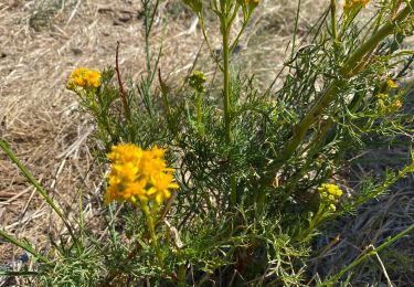
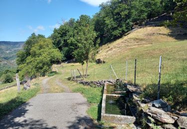
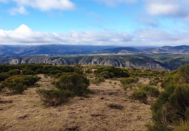
Étape magnifique sur le plateau ardéchois et la vallée de La Borne

Elevation profile

Photos

Positioning

Country:
France
Region :
Auvergne-Rhône-Alpes
Department/Province :
Ardèche
Municipality :
Montselgues
Location:
Unknown
Start:(UTM)
579893 ; 4930499 (31T) N.

Trails nearby

Trail Walking Malarce-sur-la-Thines - Le pèlerinage des trois croix - Malarce-sur-la-Thines - Photo
Walking
tracegps

Walking

Medium
(2)
Malarce-sur-la-Thines, Auvergne-Rhône-Alpes, Ardèche, France
10.2 km | 16.4 km-effort
2h 19min
Yes
Trail Walking Malarce-sur-la-Thines - Thines-Ranc Fournassier 11km - Photo
Walking
GUIDE
thonyc

Walking

Difficult
Malarce-sur-la-Thines, Auvergne-Rhône-Alpes, Ardèche, France
11.2 km | 19.7 km-effort
5h 0min
Yes
Trail Walking Malarce-sur-la-Thines - La Bombine - Photo
Walking
BrigitteBertrand

Walking

Medium
Malarce-sur-la-Thines, Auvergne-Rhône-Alpes, Ardèche, France
8.1 km | 10.7 km-effort
2h 21min
Yes
Trail Walking Saint-Laurent-les-Bains-Laval-d'Aurelle - Laval d'aurelle Ubac - Photo
Walking
GUIDE
nadinebondoux

Walking

Medium
Saint-Laurent-les-Bains-Laval-d'Aurelle, Auvergne-Rhône-Alpes, Ardèche, France
7.6 km | 12.1 km-effort
2h 27min
Yes
Trail Walking Malarce-sur-la-Thines - Thines 12km - Photo
Walking
GUIDE
thonyc

Walking

Medium
(1)
Malarce-sur-la-Thines, Auvergne-Rhône-Alpes, Ardèche, France
10.3 km | 16.4 km-effort
3h 10min
Yes
Trail Walking Montselgues - Montselgues - Les chaos par les crètes - Photo
Walking
ganinette

Walking

Medium
(1)
Montselgues, Auvergne-Rhône-Alpes, Ardèche, France
11.4 km | 14.4 km-effort
3h 15min
Yes
Trail Walking Malarce-sur-la-Thines - Thines et Peyre par GRP puis GR4. - Photo
Walking
dcharbonnier

Walking

Medium
Malarce-sur-la-Thines, Auvergne-Rhône-Alpes, Ardèche, France
10.4 km | 16.2 km-effort
5h 3min
No
Trail Walking Malarce-sur-la-Thines - La pierre plantée  - Photo
Walking
BrigitteBertrand

Walking

Medium
Malarce-sur-la-Thines, Auvergne-Rhône-Alpes, Ardèche, France
7.4 km | 10 km-effort
2h 36min
Yes
Trail Walking Sablières - Pont du Mas - Boules de Gargantua - Photo
Walking
GUIDE
thonyc

Walking

Difficult
Sablières, Auvergne-Rhône-Alpes, Ardèche, France
13.9 km | 24 km-effort
5h 30min
Yes


Close
My subscriptions