


Peyrasourdes

antignacs
User GUIDE

Length
4.8 km

Max alt
1583 m

Uphill gradient
215 m
Km-Effort
7.7 km

Min alt
1416 m

Downhill gradient
205 m
Boucle
Yes
Creation date :
2022-02-22 08:38:09.0
Updated on :
2022-02-22 10:28:00.369
1h49
Difficulty : Very easy

FREE GPS app for hiking
 SityTrail
IGN / Geographical institutes
SityTrail Plus
The world is yours!
About
Trail Walking of 4.8 km to be discovered at Occitania, Hautespyrenees, Loudervielle. This trail is proposed by antignacs.
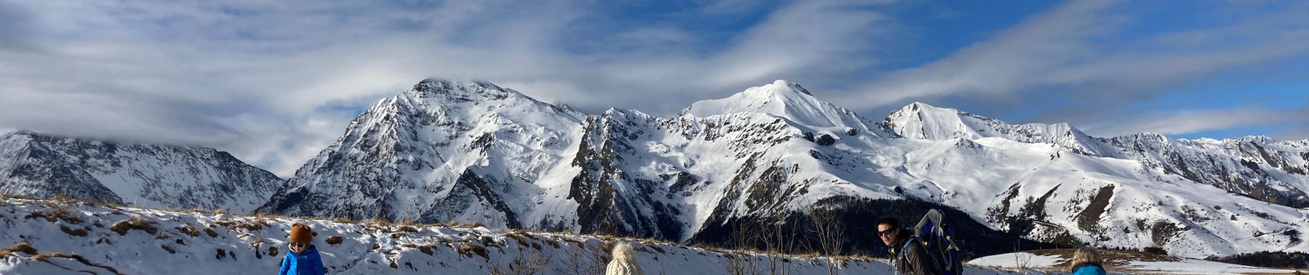
Photos


Positioning
Country:
France
Region :
Occitania
Department/Province :
Hautespyrenees
Municipality :
Loudervielle
Location:
Unknown
Start:(Dec)
Start:(UTM)
290658 ; 4741469 (31T) N.
Comments