


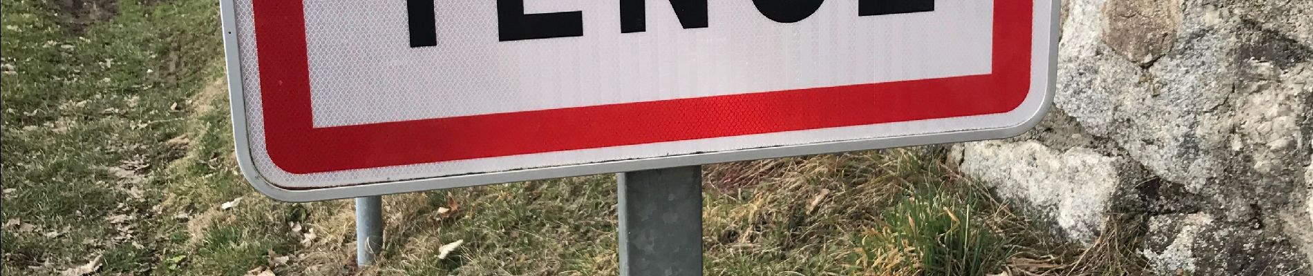
Tence (13 km - D. 330 m)

Thomasdanielle
User
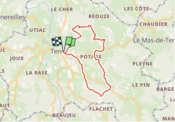

Length
13.4 km

Max alt
993 m

Uphill gradient
329 m
Km-Effort
17.8 km

Min alt
843 m

Downhill gradient
329 m
Boucle
Yes
Creation date :
2022-02-23 09:16:05.0
Updated on :
2022-02-26 08:33:01.495
4h18
Difficulty : Difficult

FREE GPS app for hiking
 SityTrail
IGN / Geographical institutes
SityTrail Plus
The world is yours!
About
Trail Walking of 13.4 km to be discovered at Auvergne-Rhône-Alpes, Haute-Loire, Tence. This trail is proposed by Thomasdanielle.
Description
Parking : maison de retraite (Sérigoule)
Photos
 - Photo 1")
Positioning
Country:
France
Region :
Auvergne-Rhône-Alpes
Department/Province :
Haute-Loire
Municipality :
Tence
Location:
Unknown
Start:(Dec)
Start:(UTM)
601659 ; 4996578 (31T) N.
Comments