


Tanneron

ETMU5496
User

Length
21 km

Max alt
380 m

Uphill gradient
887 m
Km-Effort
33 km

Min alt
68 m

Downhill gradient
877 m
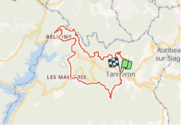
Boucle
Yes
Creation date :
2022-02-23 07:24:57.0
Updated on :
2022-02-23 19:17:47.15
4h57
Difficulty : Difficult

FREE GPS app for hiking
 SityTrail
IGN / Geographical institutes
SityTrail Plus
The world is yours!
About
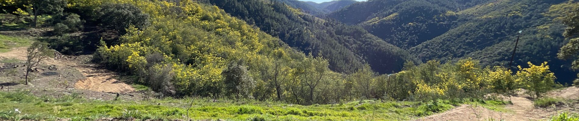
Trail Walking of 21 km to be discovered at Provence-Alpes-Côte d'Azur, Var, Tanneron. This trail is proposed by ETMU5496.
Description
Février 2022
Photos


Positioning
Country:
France
Region :
Provence-Alpes-Côte d'Azur
Department/Province :
Var
Municipality :
Tanneron
Location:
Unknown
Start:(Dec)
Start:(UTM)
328463 ; 4828464 (32T) N.
Comments