


Le Sanguinerette

bozo1970
User
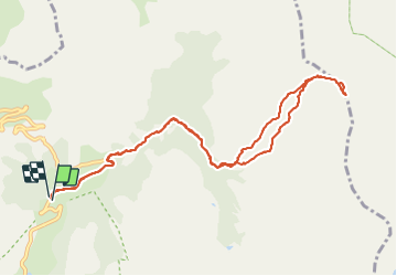


6h18
Difficulty : Difficult

FREE GPS app for hiking
 SityTrail
IGN / Geographical institutes
SityTrail Plus
The world is yours!
About
Trail Snowshoes of 11.5 km to be discovered at Provence-Alpes-Côte d'Azur, Maritime Alps, Entraunes. This trail is proposed by bozo1970.
Description
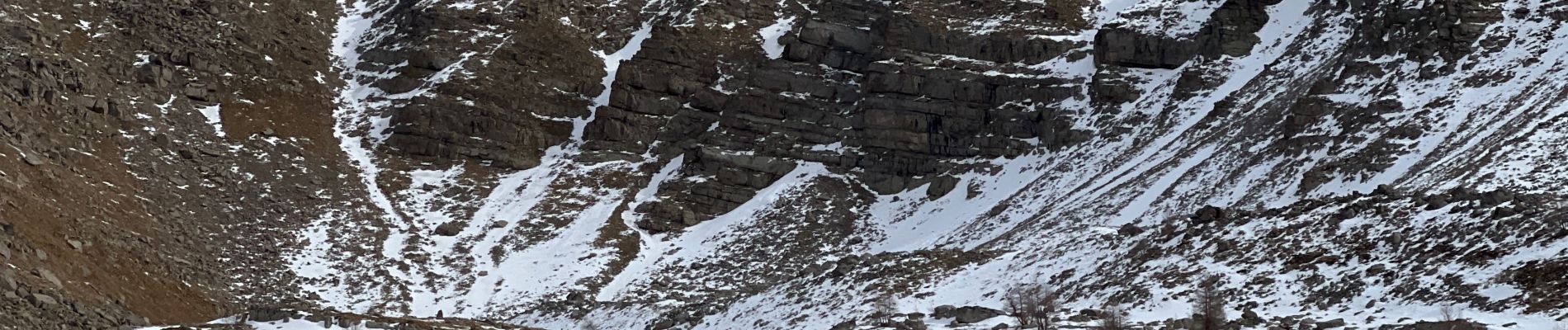
3h50’ de montée jusqu’au sommet par le vallon de Carteiret : difficile
6h20’ A/R
Belle vue panoramique à 360
Sommet méconnu et vallon sauva
Photos


29 photos in total. Please click on a photo to see them all in the gallery.
Positioning
Comments