


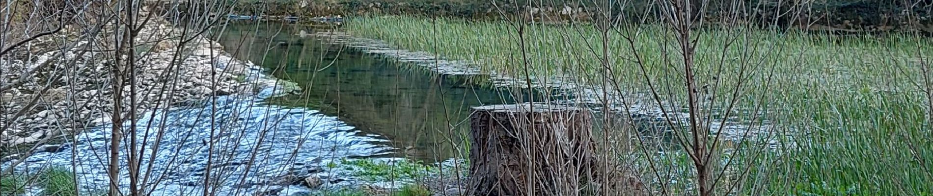
seranne, pontel, pegairolles de bueges, et source de la bueges

jeanfcd
User
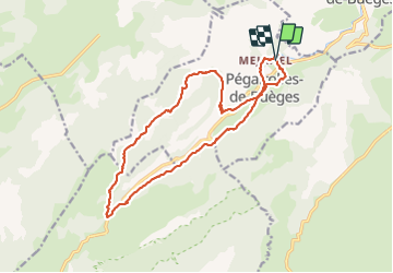

Length
18.2 km

Max alt
738 m

Uphill gradient
749 m
Km-Effort
28 km

Min alt
172 m

Downhill gradient
747 m
Boucle
Yes
Creation date :
2022-02-26 09:56:24.897
Updated on :
2022-02-26 16:41:11.413
5h14
Difficulty : Difficult

FREE GPS app for hiking
 SityTrail
IGN / Geographical institutes
SityTrail Plus
The world is yours!
About
Trail Walking of 18.2 km to be discovered at Occitania, Hérault, Pégairolles-de-Buèges. This trail is proposed by jeanfcd.
Photos


36 photos in total. Please click on a photo to see them all in the gallery.
Positioning
Country:
France
Region :
Occitania
Department/Province :
Hérault
Municipality :
Pégairolles-de-Buèges
Location:
Unknown
Start:(Dec)
Start:(UTM)
547527 ; 4851259 (31T) N.
Comments