Espenel, serre de l'Aup

ajd26
User
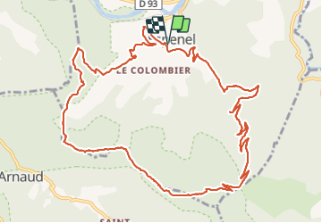

Length
14.8 km

Max alt
1083 m

Uphill gradient
943 m
Km-Effort
27 km

Min alt
299 m

Downhill gradient
946 m
Boucle
Yes
Creation date :
2022-02-27 10:09:43.0
Updated on :
2022-02-28 08:32:23.515
4h45
Difficulty : Medium

FREE GPS app for hiking
 SityTrail
IGN / Geographical institutes
SityTrail Plus
The world is yours!
About
Trail Walking of 14.8 km to be discovered at Auvergne-Rhône-Alpes, Drôme, Espenel. This trail is proposed by ajd26.
Description
départ Espenel, serre de l'Aup et retour par le col d'Espenel sous la Cresta
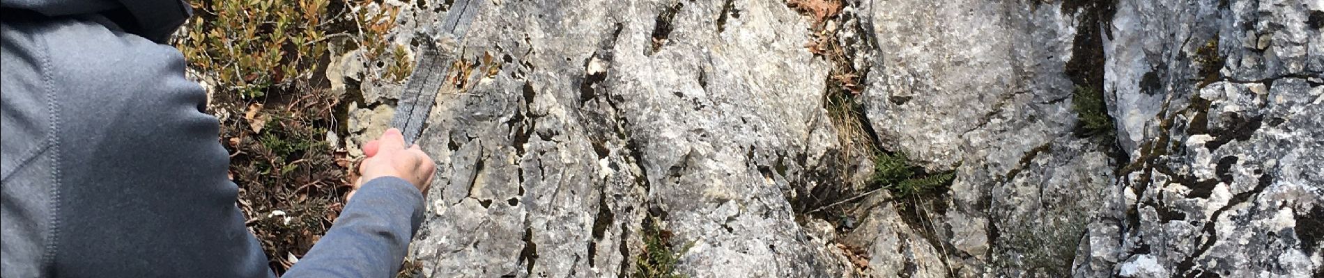
la descente jusqu'au col d'Espenel est très raide mais pas dangereuse
Photos

Positioning
Country:
France
Region :
Auvergne-Rhône-Alpes
Department/Province :
Drôme
Municipality :
Espenel
Location:
Unknown
Start:(Dec)
Start:(UTM)
677066 ; 4950179 (31T) N.
Comments