


Modette

sameja
User
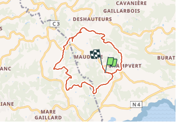

Length
11.5 km

Max alt
112 m

Uphill gradient
356 m
Km-Effort
16.2 km

Min alt
22 m

Downhill gradient
328 m
Boucle
No
Creation date :
2022-03-01 12:23:40.0
Updated on :
2022-03-01 15:01:28.217
2h20
Difficulty : Medium

FREE GPS app for hiking
 SityTrail
IGN / Geographical institutes
SityTrail Plus
The world is yours!
About
Trail Nordic walking of 11.5 km to be discovered at Guadeloupe, Unknown, Sainte-Anne. This trail is proposed by sameja.
Description
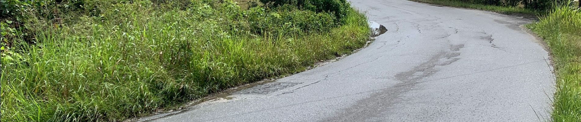
St Anne la boucle
Photos


Positioning
Country:
France
Region :
Guadeloupe
Department/Province :
Unknown
Municipality :
Sainte-Anne
Location:
Unknown
Start:(Dec)
Start:(UTM)
668922 ; 1794892 (20Q) N.
Comments