Trail On foot Adé - G3 Ail des Ours et Miramont - Photo

G3 Ail des Ours et Miramont

© OpenStreetMap contributors
Length
Length
11.7 km
Max alt
Max alt
643 m
Uphill gradient
Uphill gradient
382 m
Km-Effort
Km-Effort  
16.7 km
Min alt
Min alt
408 m
Downhill gradient
Downhill gradient
378 m
Boucle
Boucle
Yes
Creation date :
2022-03-02 09:01:46.685
Updated on :
2022-03-02 09:09:49.662

(0 Reviews)

On foot
On foot
3h48
Difficulty : Easy

Scan this QR Code to open this trail in the SityTrail application

FREE GPS app for hiking

Logo SityTrail SityTrail

IGN / Geographical institutes

Download SityTrail from the App Store Download SityTrail from Google Play

Logo SityTrail SityTrail World

The world is yours!

Download SityTrail from the App Store Download SityTrail from Google Play Download SityTrail on Huawei AppGallery

About

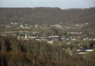
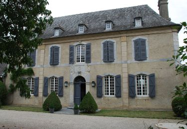
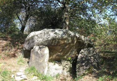
Trail On foot of 11.7 km to be discovered at Occitania, Hautespyrenees, Adé. This trail is proposed by mitch1952.

Description

Randonnée programmée  soient les 22 ou 29 avril 2022 en raison de la floraison de l' Ail des Ours
IBP 53  Cotation E3 T2 R2
Le dénivelée cumulée est sous estimé car IBP trouve 450 m

Elevation profile

Positioning

Country:
France
Region :
Occitania
Department/Province :
Hautespyrenees
Municipality :
Adé
Location:
Unknown
Start:(UTM)
742966 ; 4781392 (30T) N.

Trails nearby

Trail On foot Lanne - Le Chemin des Crêtes - Photo
On foot
PRO

On foot

Easy
Lanne, Occitania, Hautespyrenees, France
11.4 km | 14.4 km-effort
3h 16min
Yes
Trail On foot Ossun - Les 3 Chapelles - Photo
On foot
PRO

On foot

Easy
Ossun, Occitania, Hautespyrenees, France
10.9 km | 13.3 km-effort
3h 1min
Yes
Trail On foot Ossun - La Forêt d'Ossun - Photo
On foot
PRO

On foot

Easy
Ossun, Occitania, Hautespyrenees, France
11.9 km | 15.3 km-effort
3h 29min
Yes
Trail Other activity Lanne - Averan les crêtes court - Photo
Other activity
GIRAUDEL

Other activity

Easy
(1)
Lanne, Occitania, Hautespyrenees, France
10 km | 12.6 km-effort
2h 20min
Yes
Trail Nordic walking Ossun - tour de serix - Photo
Nordic walking
GIRAUDEL

Nordic walking

Easy
Ossun, Occitania, Hautespyrenees, France
11.2 km | 13.3 km-effort
2h 15min
No
Trail Nordic walking Ossun - Entre Ossun et Bartrès  - Photo
Nordic walking
RolandALLAIN

Nordic walking

Very easy
Ossun, Occitania, Hautespyrenees, France
11.8 km | 13.8 km-effort
2h 51min
Yes
Trail Walking Orincles - Les chemins de Loucrup - Photo
Walking
GIRAUDEL

Walking

Easy
Orincles, Occitania, Hautespyrenees, France
9.4 km | 12.5 km-effort
2h 49min
Yes
Trail On foot Barry - -Barry - Miramont - Photo
On foot
mitch1952

On foot

Easy
Barry, Occitania, Hautespyrenees, France
9.9 km | 14.1 km-effort
3h 12min
Yes
Trail On foot Lanne - 2021-05-02 16:57:34 - Photo
On foot
mitch1952

On foot

Medium
Lanne, Occitania, Hautespyrenees, France
18.6 km | 25 km-effort
5h 42min
Yes


Close
My subscriptions