


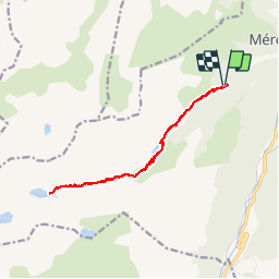

9 km | 17.9 km-effort

User


FREE GPS app for hiking
 SityTrail
IGN / Geographical institutes
SityTrail World
The world is yours!
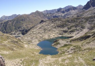
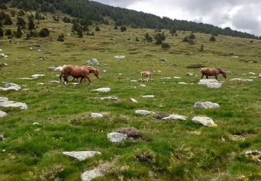
Trail Walking of 15 km to be discovered at Occitania, Ariège, Mérens-les-Vals. This trail is proposed by MarieFrancoise.
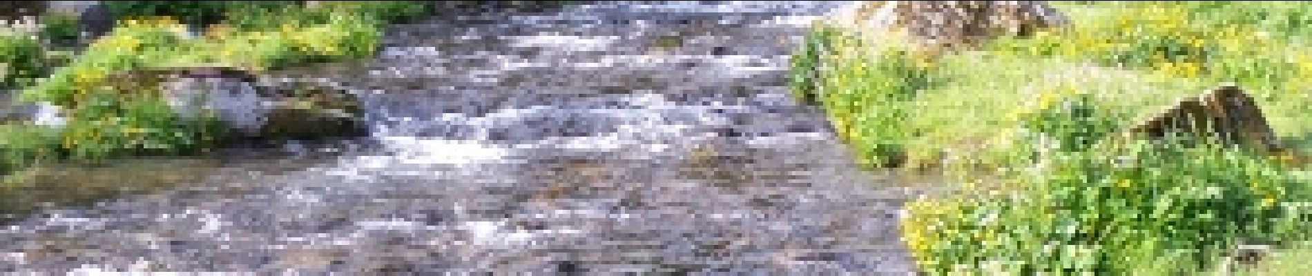
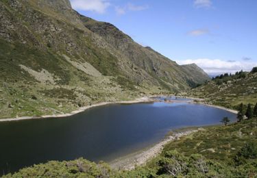
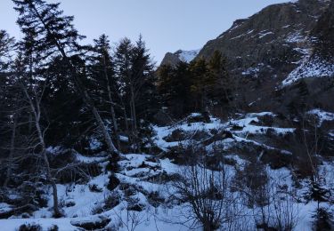
Après le lac Comte la rando devient très physique
Mais c est une rando magnifique.


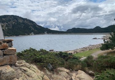
Walking
Walking
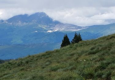
Walking
Walking
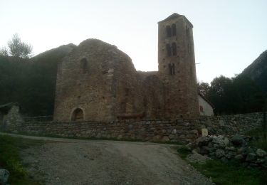
Walking
Walking
Walking
Walking