


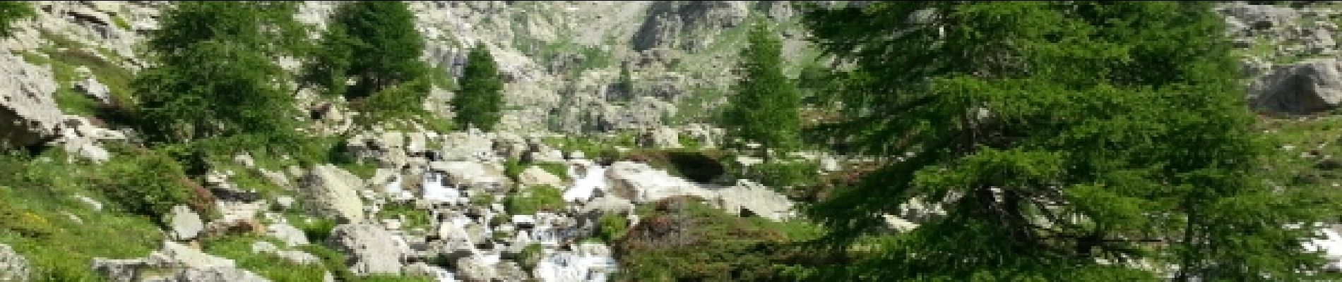
Lac Autier
© OpenStreetMap contributors


4h17
Difficulty : Medium


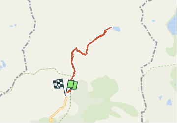
Length
8.6 km
Max alt
2270 m
Uphill gradient
583 m
Km-Effort
16.4 km
Min alt
1686 m
Downhill gradient
584 m
Boucle
Yes
Creation date :
2014-12-10 00:00:00.0
Updated on :
2014-12-10 00:00:00.0
4h17
Difficulty : Medium
FREE GPS app for hiking
 SityTrail
IGN / Geographical institutes
SityTrail Plus
The world is yours!
About
Trail Walking of 8.6 km to be discovered at Provence-Alpes-Côte d'Azur, Maritime Alps, Belvédère. This trail is proposed by jean.marie.litzler@gmail.com.
Description
Azalées et chamois
démarrage facile et très fleuri
nombreux névés
Photos


Positioning
Country:
France
Region :
Provence-Alpes-Côte d'Azur
Department/Province :
Maritime Alps
Municipality :
Belvédère
Location:
Unknown
Start:(Dec)
Start:(UTM)
371860 ; 4881270 (32T) N.
Comments