


cuire et ile barbe

maclobar
User
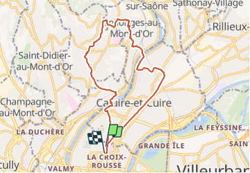

Length
17.8 km

Max alt
360 m

Uphill gradient
376 m
Km-Effort
23 km

Min alt
163 m

Downhill gradient
374 m
Boucle
No
Creation date :
2022-03-05 08:57:00.56
Updated on :
2022-03-05 17:19:12.662
5h16
Difficulty : Very difficult

FREE GPS app for hiking
 SityTrail
IGN / Geographical institutes
SityTrail Plus
The world is yours!
About
Trail Walking of 17.8 km to be discovered at Auvergne-Rhône-Alpes, Métropole de Lyon, Lyon. This trail is proposed by maclobar.
Description
Agréable randonnée près de Lyon. Ne pas rater de tourne à gauche à l'église ou chapelle Notre dame du port...sinon suivre le tracé ci- dessus
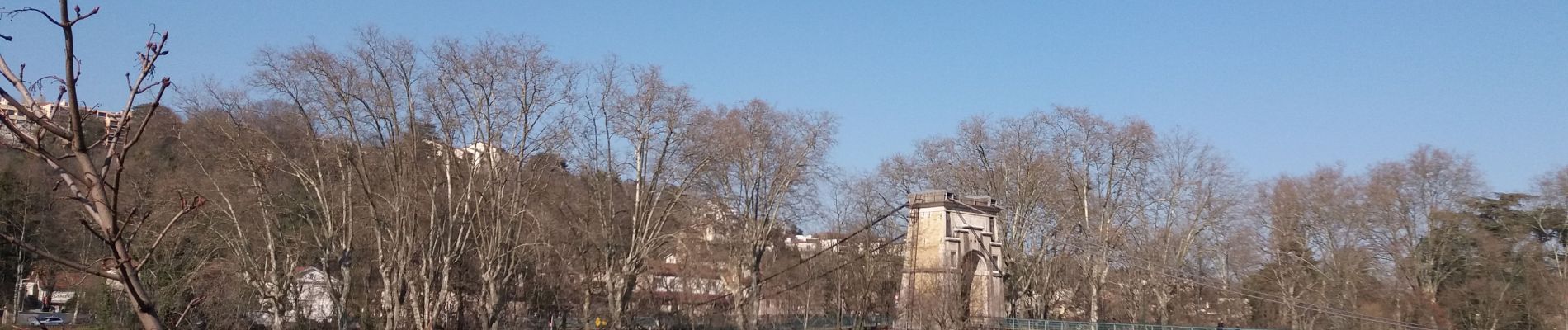
Photos


Positioning
Country:
France
Region :
Auvergne-Rhône-Alpes
Department/Province :
Métropole de Lyon
Municipality :
Lyon
Location:
Lyon 4e Arrondissement
Start:(Dec)
Start:(UTM)
642131 ; 5071460 (31T) N.
Comments