


SityTrail - La source de L' huveaune

affinetataille
User GUIDE

Length
14.4 km

Max alt
706 m

Uphill gradient
540 m
Km-Effort
22 km

Min alt
404 m

Downhill gradient
542 m
Boucle
Yes
Creation date :
2022-03-08 16:18:58.661
Updated on :
2022-03-20 16:21:11.191
6h00
Difficulty : Medium

FREE GPS app for hiking
 SityTrail
IGN / Geographical institutes
SityTrail Plus
The world is yours!
About
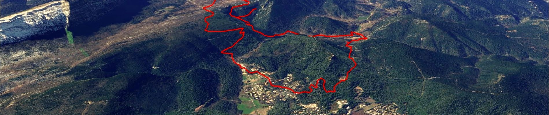
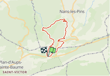
Trail Walking of 14.4 km to be discovered at Provence-Alpes-Côte d'Azur, Var, Plan-d'Aups-Sainte-Baume. This trail is proposed by affinetataille.
Photos


38 photos in total. Please click on a photo to see them all in the gallery.
Positioning
Country:
France
Region :
Provence-Alpes-Côte d'Azur
Department/Province :
Var
Municipality :
Plan-d'Aups-Sainte-Baume
Location:
Unknown
Start:(Dec)
Start:(UTM)
723553 ; 4801789 (31T) N.
Comments