


AIGLUN. Le vieil Aiglun , sommet du Puy o l s

RobinMicheline
User GUIDE
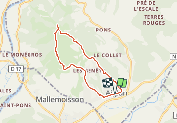

Length
7 km

Max alt
891 m

Uphill gradient
368 m
Km-Effort
11.9 km

Min alt
532 m

Downhill gradient
369 m
Boucle
Yes
Creation date :
2022-03-08 14:34:09.967
Updated on :
2022-03-08 18:44:59.461
2h14
Difficulty : Medium

FREE GPS app for hiking
 SityTrail
IGN / Geographical institutes
SityTrail Plus
The world is yours!
About
Trail Walking of 7 km to be discovered at Provence-Alpes-Côte d'Azur, Alpes-de-Haute-Provence, Aiglun. This trail is proposed by RobinMicheline.
Description
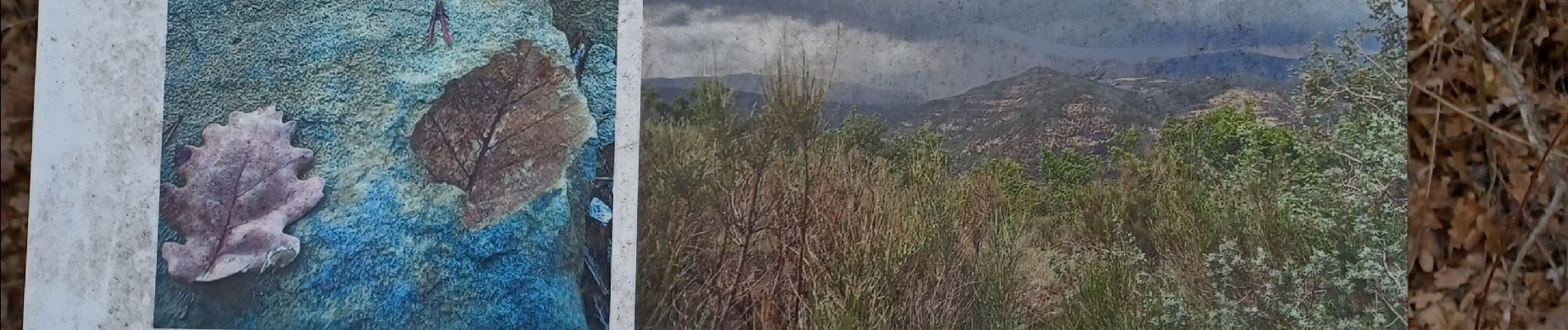
Super
Photos


Positioning
Country:
France
Region :
Provence-Alpes-Côte d'Azur
Department/Province :
Alpes-de-Haute-Provence
Municipality :
Aiglun
Location:
Unknown
Start:(Dec)
Start:(UTM)
271198 ; 4881472 (32T) N.
Comments