


20220308 vtt route

Sugg
User
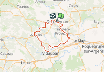

Length
53 km

Max alt
280 m

Uphill gradient
642 m
Km-Effort
61 km

Min alt
47 m

Downhill gradient
642 m
Boucle
Yes
Creation date :
2022-03-08 12:23:41.196
Updated on :
2022-03-08 22:00:20.775
3h35
Difficulty : Very difficult

FREE GPS app for hiking
 SityTrail
IGN / Geographical institutes
SityTrail Plus
The world is yours!
About
Trail Mountain bike of 53 km to be discovered at Provence-Alpes-Côte d'Azur, Var, Draguignan. This trail is proposed by Sugg.
Description
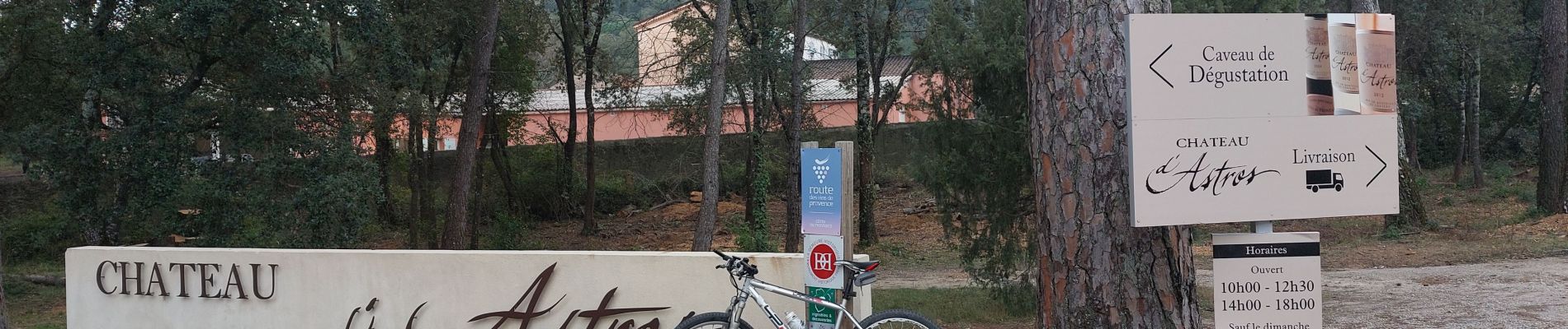
Flayosc eurovelo8 Lorgues vidauban Taradeau les Arcs ville ste Roseline route militaire trans piste cyclable Draguignan
Photos


Positioning
Country:
France
Region :
Provence-Alpes-Côte d'Azur
Department/Province :
Var
Municipality :
Draguignan
Location:
Unknown
Start:(Dec)
Start:(UTM)
294887 ; 4823299 (32T) N.
Comments