


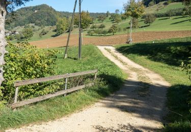
5.5 km | 8.6 km-effort


Optez pour le retour à la nature GUIDE+


FREE GPS app for hiking
 SityTrail
IGN / Geographical institutes
SityTrail World
The world is yours!
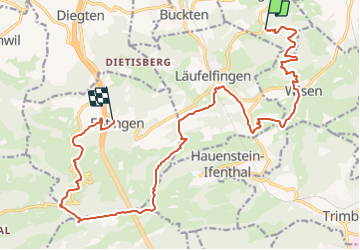
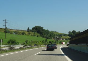
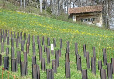
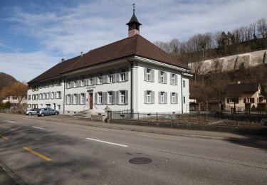
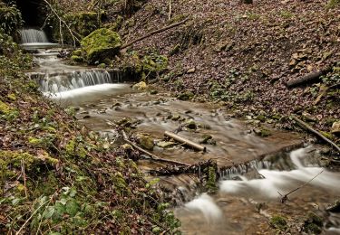
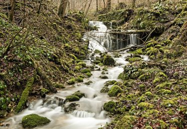
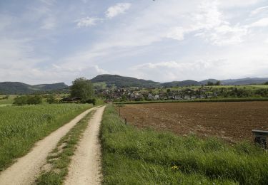
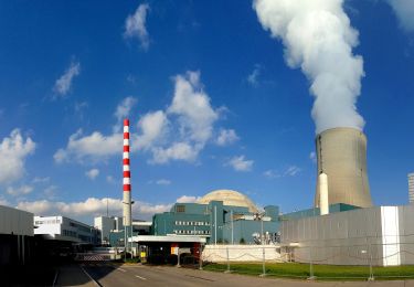
Trail Walking of 20 km to be discovered at Basel-Landschaft, Bezirk Sissach, Häfelfingen. This trail is proposed by My Switzerland.
On foot
On foot
On foot
On foot
On foot
On foot
On foot
On foot
On foot