


gym 08 03

micheleuvrard
User

Length
10.3 km

Max alt
256 m

Uphill gradient
256 m
Km-Effort
13.7 km

Min alt
111 m

Downhill gradient
254 m
Boucle
Yes
Creation date :
2022-03-09 13:02:17.251
Updated on :
2022-03-09 16:07:43.392
3h04
Difficulty : Difficult

FREE GPS app for hiking
 SityTrail
IGN / Geographical institutes
SityTrail Plus
The world is yours!
About
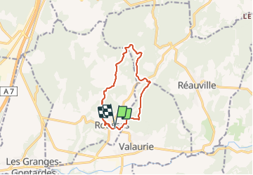
Trail Walking of 10.3 km to be discovered at Auvergne-Rhône-Alpes, Drôme, Roussas. This trail is proposed by micheleuvrard.
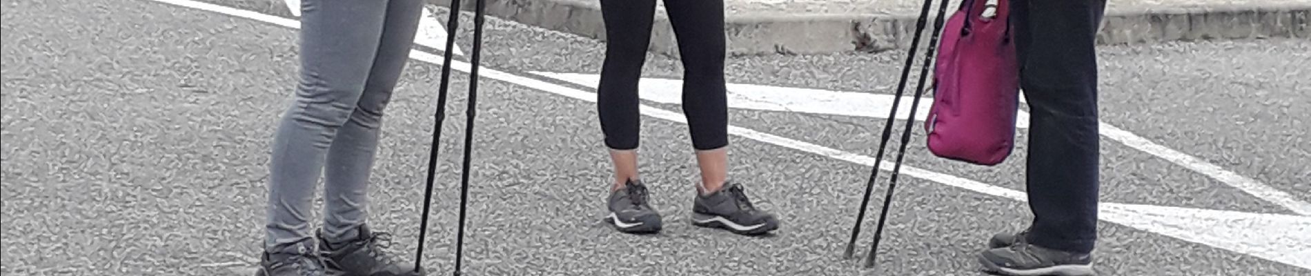
Photos


Positioning
Country:
France
Region :
Auvergne-Rhône-Alpes
Department/Province :
Drôme
Municipality :
Roussas
Location:
Unknown
Start:(Dec)
Start:(UTM)
643556 ; 4921097 (31T) N.
Comments