Trail Walking Artas - 38-Artas-Roche-Restau-17-5km-270m-mars22 - Photo

38-Artas-Roche-Restau-17-5km-270m-mars22

 SyMA
SyMA

User

© OpenStreetMap contributors
Length
Length
17.7 km
Max alt
Max alt
521 m
Uphill gradient
Uphill gradient
270 m
Km-Effort
Km-Effort  
21 km
Min alt
Min alt
388 m
Downhill gradient
Downhill gradient
271 m
Boucle
Boucle
Yes
Creation date :
2022-03-10 07:53:06.737
Updated on :
2022-03-11 09:09:34.238

(0 Reviews)

Walking
Walking
4h40
Difficulty : Medium

Scan this QR Code to open this trail in the SityTrail application

FREE GPS app for hiking

Logo SityTrail SityTrail

IGN / Geographical institutes

Download SityTrail from the App Store Download SityTrail from Google Play

Logo SityTrail SityTrail World

The world is yours!

Download SityTrail from the App Store Download SityTrail from Google Play Download SityTrail on Huawei AppGallery

About

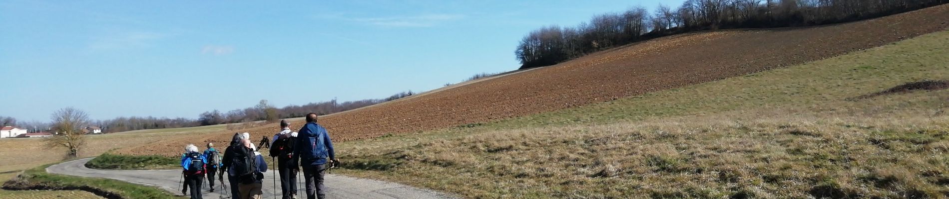
Trail Walking of 17.7 km to be discovered at Auvergne-Rhône-Alpes, Isère, Artas. This trail is proposed by SyMA.

Description

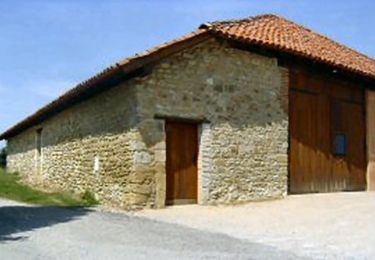
Départ parking prés de grange...
Restau Chez Mathilde
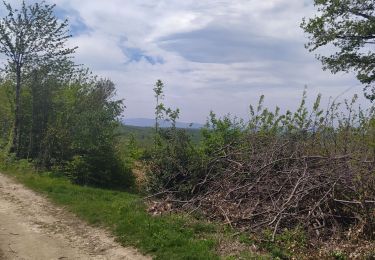
panoramas

Elevation profile

Photos

Positioning

Country:
France
Region :
Auvergne-Rhône-Alpes
Department/Province :
Isère
Municipality :
Artas
Location:
Unknown
Start:(UTM)
668371 ; 5045026 (31T) N.

Trails nearby

Trail Mountain bike Diémoz - De Saint Georges d'Espéranche à Artas - Photo
Mountain bike
tracegps

Mountain bike

Medium
Diémoz, Auvergne-Rhône-Alpes, Isère, France
33 km | 41 km-effort
2h 30min
Yes
Trail Mountain bike Chèzeneuve - vtt autour de chezeneuve - Photo
Mountain bike
martinserge

Mountain bike

Medium
Chèzeneuve, Auvergne-Rhône-Alpes, Isère, France
38 km | 49 km-effort
3h 51min
Yes
Trail Walking Artas - 20230416 Rando de reprise - Photo
Walking
GALIBER

Walking

Medium
Artas, Auvergne-Rhône-Alpes, Isère, France
6.9 km | 9.2 km-effort
2h 2min
Yes
Trail Walking Charantonnay - tatayoyo - Photo
Walking
Morin thierry

Walking

Easy
Charantonnay, Auvergne-Rhône-Alpes, Isère, France
7.1 km | 8.7 km-effort
1h 50min
Yes
Trail Walking Artas - rando du 9 mai 2021 - Photo
Walking
GALIBER

Walking

Very difficult
Artas, Auvergne-Rhône-Alpes, Isère, France
17.2 km | 22 km-effort
4h 54min
No
Trail Walking Saint-Jean-de-Bournay - 1/07 - Photo
Walking
GALIBER

Walking

Very easy
Saint-Jean-de-Bournay, Auvergne-Rhône-Alpes, Isère, France
5.1 km | 7.6 km-effort
1h 39min
No
Trail Mountain bike Four - VTT chaponnay - Photo
Mountain bike
bartok

Mountain bike

Medium
(1)
Four, Auvergne-Rhône-Alpes, Isère, France
43 km | 56 km-effort
1h 50min
No
Trail Walking Saint-Jean-de-Bournay - st jean l'etang de mont joux  - Photo
Walking
phil1178

Walking

Easy
Saint-Jean-de-Bournay, Auvergne-Rhône-Alpes, Isère, France
10.1 km | 11.9 km-effort
2h 43min
No
Trail Walking Chèzeneuve - chezeneuve reel - Photo
Walking
6ARVAL7

Walking

Easy
Chèzeneuve, Auvergne-Rhône-Alpes, Isère, France
15.6 km | 21 km-effort
3h 48min
No


Close
My subscriptions