


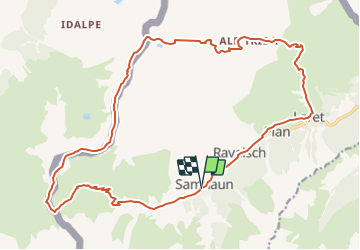


138 km | 332 km-effort


Optez pour le retour à la nature GUIDE+


FREE GPS app for hiking
 SityTrail
IGN / Geographical institutes
SityTrail World
The world is yours!
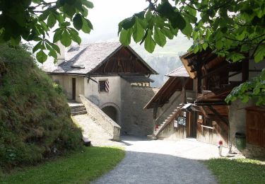
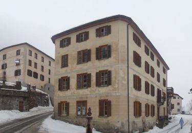
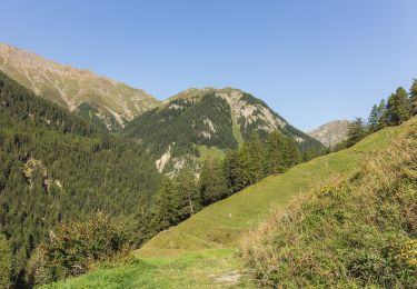
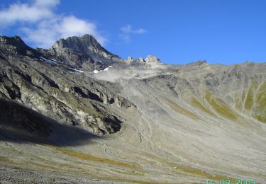
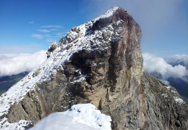
Trail Mountain bike of 23 km to be discovered at Grisons, Region Engiadina Bassa/Val Müstair, Samnaun. This trail is proposed by My Switzerland.

Other activity
On foot
On foot
On foot
On foot
On foot
On foot
On foot
On foot