


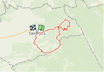

10.2 km | 15.9 km-effort


User


FREE GPS app for hiking
 SityTrail
IGN / Geographical institutes
SityTrail World
The world is yours!
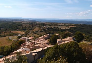
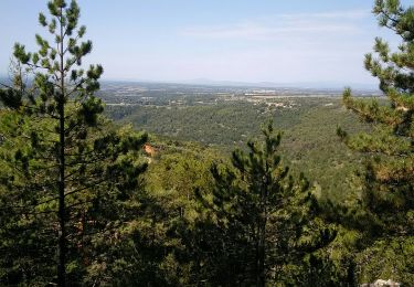
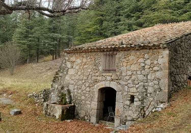
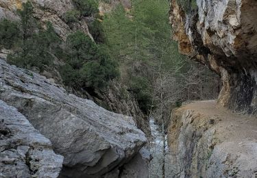
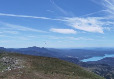
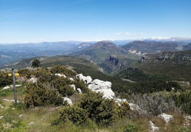
Trail Walking of 16.1 km to be discovered at Provence-Alpes-Côte d'Azur, Alpes-de-Haute-Provence, Saint-Jurs. This trail is proposed by RobinMicheline.
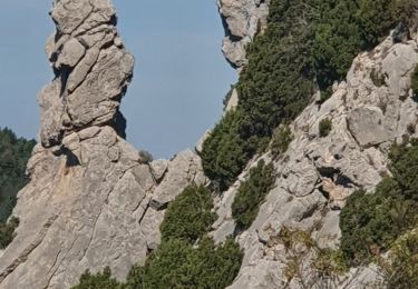
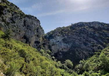
Belle rando , bien indiquer sentiers sympas


Walking
Walking
Walking
Walking
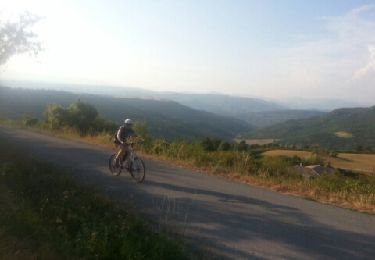
Mountain bike
Walking
Walking
Walking
Walking